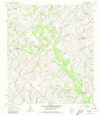
1963 Map of Welcome
USGS Topo · Published 1980About this map
The rolling landscape of Central Texas is meticulously documented in this early 1960s survey, marking the transition between Washington Co and Austin Co. Small farming communities like Bleiblerville and Muellersville anchor a network of country roads, while the Gulf Colorado and Santa Fe railroad cuts across the northeastern corner near Pleasant Hill Sch. The area is heavily defined by its watercourses, including the winding Rocky Creek and East Mill Creek, which shape the terrain and settlement patterns.
Find a feature on this map
40 named features on this map. Tap any name to fly to it.
Don’t see what you’re looking for? This feature index may not catch every label — zoom into the map to look around manually.
Map Details
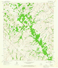
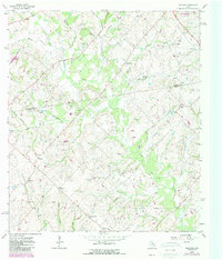
Editions of this 1963 Welcome Map
3 editions found
Other maps of this area

1919 · Fayettsville
USGS Topo · 1:62,500

1930 · Brenham
USGS Topo · 1:62,500

1953 · Seguin
USGS Topo · 1:250,000

1954 · Austin
USGS Topo · 1:250,000

1956 · Bellville
USGS Topo · 1:62,500

1956 · Brenham
USGS Topo · 1:62,500

1958 · Seguin
USGS Topo · 1:250,000

1958 · Industry
USGS Topo · 1:24,000

1958 · Greenvine
USGS Topo · 1:24,000

1958 · Burton
USGS Topo · 1:24,000