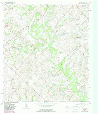
1963 Map of Welcome
USGS Topo · Published 1989About this map
Welcome and Bleiblerville anchor the rural landscape of this region during the early 1960s, a period when the agricultural character of the area was still clearly defined by its numerous small-scale community hubs. The map reveals a dense network of country roads connecting isolated settlements like Muellersville and Wehdem, often centered around local institutions such as Welcome Ch, Salem Ch, and Williams Ch.
Find a feature on this map
35 named features on this map. Tap any name to fly to it.
Don’t see what you’re looking for? This feature index may not catch every label — zoom into the map to look around manually.
Map Details
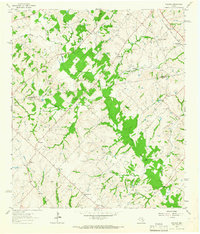
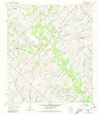
Editions of this 1963 Welcome Map
3 editions found
Other maps of this area

1919 · Fayettsville
USGS Topo · 1:62,500

1930 · Brenham
USGS Topo · 1:62,500

1953 · Seguin
USGS Topo · 1:250,000

1954 · Austin
USGS Topo · 1:250,000

1956 · Bellville
USGS Topo · 1:62,500

1956 · Brenham
USGS Topo · 1:62,500

1958 · Seguin
USGS Topo · 1:250,000

1958 · Industry
USGS Topo · 1:24,000

1958 · Greenvine
USGS Topo · 1:24,000

1958 · Burton
USGS Topo · 1:24,000