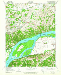
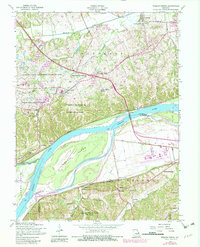
1954 Map of Weldon Spring
USGS Topo · Published 1966About this map
Weldon Spring Ordnance Works and its surrounding reservation dominate the central landscape of this mid-century survey, illustrating the significant military and industrial footprint in St Charles County. The Missouri River bisects the region, carving out the large Howell Island and creating a natural boundary between St Charles and St Louis counties. To the north, the historic route of Boones Lick Road passes through Cottleville, while the south bank is defined by the Chicago Rock Island and Pacific railroad line serving small riverfront communities like Centaur and Monarch.
Find a feature on this map
51 named features on this map. Tap any name to fly to it.
Don’t see what you’re looking for? This feature index may not catch every label — zoom into the map to look around manually.
Map Details
Editions of this 1954 Weldon Spring Map
5 editions found
Other maps of this area

1903 · O'Fallon
USGS Topo · 1:125,000

1931 · Manchester SE
USGS Topo · 1:24,000

1931 · Brussels
USGS Topo · 1:62,500

1932 · Manchester NE
USGS Topo · 1:24,000

1937 · Weldon Spring
USGS Topo · 1:24,000

1939 · Brussels
USGS Topo · 1:62,500

1940 · Eureka
USGS Topo · 1:24,000

1940 · Weldon Spring
USGS Topo · 1:24,000

1941 · Troy
USGS Topo · 1:62,500

1943 · Brussels
USGS Topo · 1:62,500