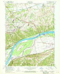
1954 Map of Weldon Spring
USGS Topo · Published 1969About this map
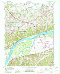
Weldon Spring Ordnance Works and its surrounding reservation boundary dominate the northern landscape of this Missouri River corridor. The map documents a period of significant land-use transition, where former industrial and military sites give way to the August A Busch Memorial Wildlife Area and the University of Missouri Experimental Farm. Along the historic Boones Lick Road, small communities like Cottleville and Weldon Spring maintain their mid-century character amidst expanding infrastructure. To the south, the Missouri River loops around Howell Island, separating St. Charles County from the growing suburban developments and aviation hubs in St. Louis County, including the Spirit of St Louis Airport and Lobmaster Airport. This survey captures the region just as the Daniel Boone Bridge and modern pipelines begin to reshape the old river-and-rail economy defined by the Chicago Rock Island and Pacific railroad.
Find a feature on this map
53 named features on this map. Tap any name to fly to it.
Don’t see what you’re looking for? This feature index may not catch every label — zoom into the map to look around manually.
Map Details
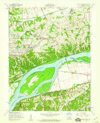
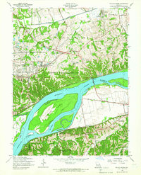
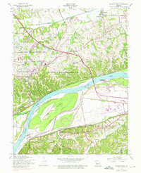
Editions of this 1954 Weldon Spring Map
5 editions found
Other maps of this area

1903 · O'Fallon
USGS Topo · 1:125,000

1931 · Manchester SE
USGS Topo · 1:24,000

1931 · Brussels
USGS Topo · 1:62,500

1932 · Manchester NE
USGS Topo · 1:24,000

1937 · Weldon Spring
USGS Topo · 1:24,000

1939 · Brussels
USGS Topo · 1:62,500

1940 · Eureka
USGS Topo · 1:24,000

1940 · Weldon Spring
USGS Topo · 1:24,000

1941 · Troy
USGS Topo · 1:62,500

1943 · Brussels
USGS Topo · 1:62,500