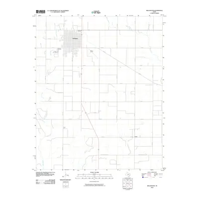
2010 Map of Wellington
USGS Topo · Published 2010About this map
Wellington serves as the focal point of this Collingsworth County landscape, showing its organized street grid and surrounding agricultural connectivity at the start of the 2010s. The town's historical foundations are clearly visible through the Old Wellington Cemetery to the north and Fairview Cemetery to the west. This survey illustrates a rural infrastructure defined by an extensive network of farm-to-market roads and county routes, such as FM 338 and Rocket Rd, which link the town to outlying areas like House Log and Fresno.
Find a feature on this map
34 named features on this map. Tap any name to fly to it.
Don’t see what you’re looking for? This feature index may not catch every label — zoom into the map to look around manually.
Map Details
Editions of this 2010 Wellington Map
This is the sole edition of this map. No revisions or reprints were ever made.
Other maps of this area

1954 · Plainview
USGS Topo · 1:250,000

1958 · Plainview
USGS Topo · 1:250,000

1959 · Wellington NW
USGS Topo · 1:24,000

1959 · Shinnery Creek
USGS Topo · 1:24,000

1960 · Loco
USGS Topo · 1:62,500

1961 · Estelline
USGS Topo · 1:62,500

1964 · Rolla NE
USGS Topo · 1:24,000

1964 · Wellington
USGS Topo · 1:24,000

1964 · Dodson
USGS Topo · 1:24,000

1964 · Rolla
USGS Topo · 1:24,000