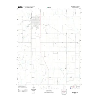
2012 Map of Wellington
USGS Topo · Published 2012About this map
Wellington serves as the primary hub of this Texas Panhandle landscape, where a structured grid of residential streets like Haskell St and El Paso St contrasts with the surrounding agricultural expanse. The town is flanked by significant local landmarks including the Old Wellington Cem and Fairview Cem, while the Marian Airpark sits just to the east along FM-338. This 2012 survey illustrates a region defined by its drainage systems, where House Log Cr, Willow Cr, and Buck Cr carve winding paths through the orderly section lines of the county road network.
Find a feature on this map
43 named features on this map. Tap any name to fly to it.
Don’t see what you’re looking for? This feature index may not catch every label — zoom into the map to look around manually.
Map Details
Editions of this 2012 Wellington Map
This is the sole edition of this map. No revisions or reprints were ever made.
Other maps of this area

1954 · Plainview
USGS Topo · 1:250,000

1958 · Plainview
USGS Topo · 1:250,000

1959 · Wellington NW
USGS Topo · 1:24,000

1959 · Shinnery Creek
USGS Topo · 1:24,000

1960 · Loco
USGS Topo · 1:62,500

1961 · Estelline
USGS Topo · 1:62,500

1964 · Rolla NE
USGS Topo · 1:24,000

1964 · Wellington
USGS Topo · 1:24,000

1964 · Dodson
USGS Topo · 1:24,000

1964 · Rolla
USGS Topo · 1:24,000