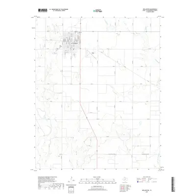
2019 Map of Wellington
USGS Topo · Published 2019About this map
Wellington serves as the primary hub of this landscape, situated at the intersection of major routes like FM 338 and Highway 83. The town's grid is remarkably dense for the region, featuring streets named after prominent Texas cities like Amarillo St, Dallas St, and Houston St. The outskirts are marked by numerous burial grounds, including Old Wellington Cem, Memorial Gardens Cem, and the dual sites of North Fairview Cem and South Fairview Cem.
Find a feature on this map
53 named features on this map. Tap any name to fly to it.
Don’t see what you’re looking for? This feature index may not catch every label — zoom into the map to look around manually.
Map Details
Editions of this 2019 Wellington Map
This is the sole edition of this map. No revisions or reprints were ever made.
Other maps of this area

1954 · Plainview
USGS Topo · 1:250,000

1958 · Plainview
USGS Topo · 1:250,000

1959 · Wellington NW
USGS Topo · 1:24,000

1959 · Shinnery Creek
USGS Topo · 1:24,000

1960 · Loco
USGS Topo · 1:62,500

1961 · Estelline
USGS Topo · 1:62,500

1964 · Rolla NE
USGS Topo · 1:24,000

1964 · Wellington
USGS Topo · 1:24,000

1964 · Dodson
USGS Topo · 1:24,000

1964 · Rolla
USGS Topo · 1:24,000