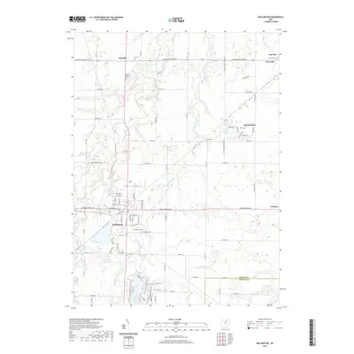
2019 Map of Wellington
USGS Topo · Published 2019About this map
Wellington serves as the primary hub in this portion of Lorain County, where the grid-like residential streets transition into the expansive agricultural lands of north-central Ohio. The village is anchored by several historic burial grounds, including Pioneer Cem and Greenwood Cem, which provide significant points of interest for genealogical research. To the south, the Wellington Reservoirs offer a distinct geographical break from the surrounding fields, while the West Branch Black River and Wellington Creek carve subtle paths through the terrain.
Find a feature on this map
51 named features on this map. Tap any name to fly to it.
Don’t see what you’re looking for? This feature index may not catch every label — zoom into the map to look around manually.
Map Details
Editions of this 2019 Wellington Map
This is the sole edition of this map. No revisions or reprints were ever made.
Other maps of this area

1901 · Oberlin
USGS Topo · 1:62,500

1903 · Vermilion
USGS Topo · 1:62,500

1903 · Oberlin
USGS Topo · 1:62,500

1904 · Wellington
USGS Topo · 1:62,500

1906 · Wellington
USGS Topo · 1:62,500

1908 · New London
USGS Topo · 1:62,500

1953 · Grafton
USGS Topo · 1:24,000

1956 · Toledo
USGS Topo · 1:250,000

1959 · Kipton
USGS Topo · 1:24,000

1960 · Oberlin
USGS Topo · 1:24,000