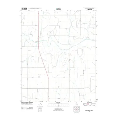
2012 Map of Wellington NW
USGS Topo · Published 2012About this map
The Salt Fork Red River carves a central path across this portion of Collingsworth County, defining a landscape of riparian drainage and rural ranching roads. In the high plains of the Texas Panhandle, the waterway is joined by numerous tributaries including Indian Cr, Cottonwood Cr, and Panther Cr. Transport is anchored by the US 83 Bridge, where the primary north-south highway crosses the riverbed. The map reveals a systematic grid of local routes like CO Road M and Ranch Road 1981, alongside the small impoundment of Cason Lake. Local place names such as Pan Fork and House Log Cr offer a glimpse into the vernacular geography of this agricultural region during the early twenty-first century.
Find a feature on this map
32 named features on this map. Tap any name to fly to it.
Don’t see what you’re looking for? This feature index may not catch every label — zoom into the map to look around manually.
Map Details
Editions of this 2012 Wellington NW Map
This is the sole edition of this map. No revisions or reprints were ever made.
Other maps of this area

1954 · Amarillo
USGS Topo · 1:250,000

1954 · Plainview
USGS Topo · 1:250,000

1958 · Amarillo
USGS Topo · 1:250,000

1958 · Plainview
USGS Topo · 1:250,000

1959 · Wellington NW
USGS Topo · 1:24,000

1959 · Shinnery Creek
USGS Topo · 1:24,000

1963 · Little Wolf Creek
USGS Topo · 1:24,000

1964 · Rolla NE
USGS Topo · 1:24,000

1964 · Wellington
USGS Topo · 1:24,000

1964 · Dodson
USGS Topo · 1:24,000