
1926 Map of Wellsville
USGS Topo · Published 1926About this map
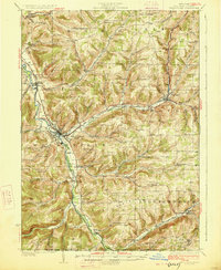
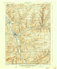
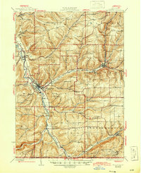
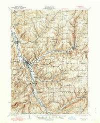
The Genesee River valley serves as the primary corridor for development in this southern Allegany County region, where the Erie RR and Liberty Highway converge at the village of Wellsville. This survey shows a landscape defined by its upland plateaus and the deep drainages of Dyke Creek and Chenunda Creek. Smaller communities and historic crossroad settlements like Stannards Corners, Whitesville, and Hallsport dot the valleys, supported by a dense network of numbered school districts that reach into more remote areas like Irish Settlement. Notable landmarks such as Weidrich Bridge and Stone Dam mark the era's infrastructure, while the map preserves the exact names of dozens of family-associated topographical features, including Vandermark Creek and Crowner Brook. The southern boundary reveals the intersection of New York state with the Pennsylvania line, showcasing the early rural economy of Spring Mills and Shongo.
Find a feature on this map
72 named features on this map. Tap any name to fly to it.
Don’t see what you’re looking for? This feature index may not catch every label — zoom into the map to look around manually.
Map Details
Editions of this 1926 Wellsville Map
5 editions found
Other maps of this area

1899 · Gaines
USGS Topo · 1:62,500

1900 · Gaines
USGS Topo · 1:62,500

1906 · Angelica
USGS Topo · 1:62,500

1915 · Hornell
USGS Topo · 1:62,500

1916 · Canaseraga
USGS Topo · 1:62,500

1918 · Hornell
USGS Topo · 1:62,500

1925 · Belmont
USGS Topo · 1:62,500

1926 · Greenwood
USGS Topo · 1:62,500

1932 · Genesee
USGS Topo · 1:62,500

1934 · Coudersport
USGS Topo · 1:48,000