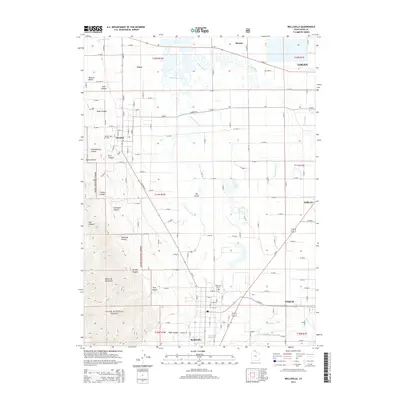
2014 Map of Wellsville
USGS Topo · Published 2014About this map
The Wellsville Mountains dominate the western horizon of this Cache Valley landscape, where the Cache National Forest boundary meets the agricultural plains. Water management defines the valley floor, evidenced by the winding path of the Little Bear River and the engineered precision of the Wellsville-Mendon Lower Canal. This area contains a network of long-established settlements including Wellsville, Mendon, and Peter, each linked by a grid of rural roads like Mendon Rd.
Find a feature on this map
87 named features on this map. Tap any name to fly to it.
Don’t see what you’re looking for? This feature index may not catch every label — zoom into the map to look around manually.
Map Details
Editions of this 2014 Wellsville Map
This is the sole edition of this map. No revisions or reprints were ever made.
Other maps of this area
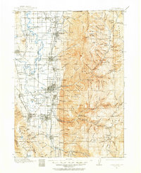
1914 · Logan
USGS Topo · 1:125,000
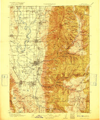
1916 · Logan
USGS Topo · 1:125,000

1954 · Ogden
USGS Topo · 1:250,000

1954 · Brigham City
USGS Topo · 1:250,000
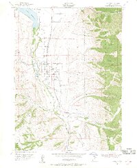
1955 · Paradise
USGS Topo · 1:24,000
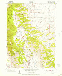
1955 · Mount Pisgah
USGS Topo · 1:24,000
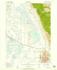
1955 · Brigham City
USGS Topo · 1:24,000
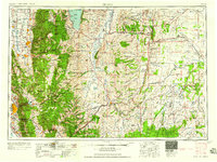
1958 · Ogden
USGS Topo · 1:250,000
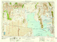
1958 · Brigham City
USGS Topo · 1:250,000
1960 · Ogden
USGS Topo · 1:250,000