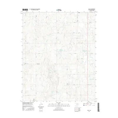
2016 Map of Welty
USGS Topo · Published 2016About this map
Boley and the surrounding Okfuskee County landscape are defined by a network of small creeks and rural burial grounds in this 2016 survey. The map details the transition from the structured street grid of Boley, including Leftwich St and Minnie Ave, to the section-line roads of the countryside. Local history is deeply embedded in the terrain through family and community landmarks such as Grant Chapel Cem, Find Cem, and Valley Grove Cem. Water management is a prominent feature of the modern landscape, evidenced by the numerous reservoirs and larger bodies like Red Bird Lake. Small settlements like Welty, Chilesville, and the interestingly named Ixl anchor the surrounding rural road network. This topographical study captures the enduring rural character of the region as it navigates the water-rich drainages of Spring Cr and Walnut Creek.
Find a feature on this map
41 named features on this map. Tap any name to fly to it.
Don’t see what you’re looking for? This feature index may not catch every label — zoom into the map to look around manually.
Map Details
Editions of this 2016 Welty Map
This is the sole edition of this map. No revisions or reprints were ever made.
Other maps of this area

1896 · Seminole and Prague
USGS Topo · 1:125,000

1900 · Wewoka
USGS Topo · 1:125,000

1901 · Nuyaka
USGS Topo · 1:125,000

1929 · Stroud
USGS Topo · 1:62,500

1932 · Stroud
USGS Topo · 1:62,500

1954 · Oklahoma City
USGS Topo · 1:250,000

1957 · Oklahoma City
USGS Topo · 1:250,000

1963 · Oklahoma City
USGS Topo · 1:250,000

1967 · Prague NE
USGS Topo · 1:24,000

1967 · Okemah
USGS Topo · 1:24,000