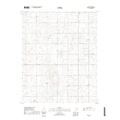
2018 Map of Welty
USGS Topo · Published 2018About this map
Welty and the historic town of Boley anchor this portion of Okfuskee County, providing a detailed look at the rural landscape and community hubs in the late 2010s. The area is defined by a dense network of sectional roads and small cemeteries that reflect generations of local settlement, including Grant Chapel Cem, Welty Cem, and Chilesville Cem near the community of Chilesville. The terrain is drained by systems such as Spring Cr and Wolfe Cr, which feed into numerous reservoirs and Red Bird Lake. This survey captures the spatial relationship between these established settlements and the natural watercourses, such as Walnut Creek and Little Walnut Cr, showing how the land has been managed through the construction of features like the Okfuskee Tributaries Site W-8 Reservoir.
Find a feature on this map
44 named features on this map. Tap any name to fly to it.
Don’t see what you’re looking for? This feature index may not catch every label — zoom into the map to look around manually.
Map Details
Editions of this 2018 Welty Map
This is the sole edition of this map. No revisions or reprints were ever made.
Other maps of this area

1896 · Seminole and Prague
USGS Topo · 1:125,000

1900 · Wewoka
USGS Topo · 1:125,000

1901 · Nuyaka
USGS Topo · 1:125,000

1929 · Stroud
USGS Topo · 1:62,500

1932 · Stroud
USGS Topo · 1:62,500

1954 · Oklahoma City
USGS Topo · 1:250,000

1957 · Oklahoma City
USGS Topo · 1:250,000

1963 · Oklahoma City
USGS Topo · 1:250,000

1967 · Prague NE
USGS Topo · 1:24,000

1967 · Okemah
USGS Topo · 1:24,000