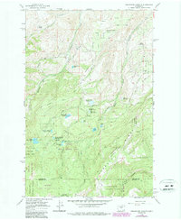
1966 Map of Wenatchee Heights
USGS Topo · Published 1987About this map
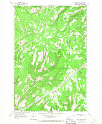
Orchard-lined plateaus and steep canyons characterize the high ground of Chelan County in the mid-1960s, where high-altitude irrigation defines the local economy. The terrain transitions from the Squilchuck State Park in the west toward the agricultural heart of Wenatchee Heights Sch No 60. A sophisticated network of water management is visible through features like the Stemilt Project Reservoir, Greenwood Reservoir No 1, and Upper Wheeler Res, which supported the surrounding fruit lands before the forest takes over at the Wenatchee National Forest boundary.
Find a feature on this map
44 named features on this map. Tap any name to fly to it.
Don’t see what you’re looking for? This feature index may not catch every label — zoom into the map to look around manually.
Map Details
Editions of this 1966 Wenatchee Heights Map
4 editions found
Other maps of this area

1912 · Malaga
USGS Topo · 1:48,000

1913 · Wenatchee
USGS Topo · 1:62,500

1914 · Malaga
USGS Topo · 1:62,500

1915 · Wenatchee
USGS Topo · 1:62,500

1920 · Colockum Pass
USGS Topo · 1:125,000

1922 · Colockum Pass
USGS Topo · 1:125,000

1957 · Wenatchee
USGS Topo · 1:250,000

1966 · Rock Island
USGS Topo · 1:24,000

1966 · Wenatchee
USGS Topo · 1:24,000
1966 · Colockum Pass
USGS Topo · 1:24,000