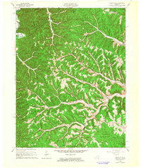
1962 Map of Wesleyville
USGS Topo · Published 1964About this map
Boone Furnace and the surrounding hollows of northeastern Kentucky represent a landscape shaped by early iron industry and intricate drainage systems. In the early 1960s, this area of Carter and Lewis counties remained defined by small family settlements and country churches, such as Mt Pleasant Ch and Bethel Ch, tucked into the narrow valleys of Tygarts Creek and Kinniconick Creek. The terrain is a dense network of branches and runs, with family-named landmarks like Sexton Cem and Kiser Cem providing critical data points for genealogical research.
Find a feature on this map
52 named features on this map. Tap any name to fly to it.
Don’t see what you’re looking for? This feature index may not catch every label — zoom into the map to look around manually.
Map Details
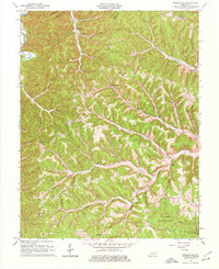
Editions of this 1962 Wesleyville Map
2 editions found
Other maps of this area

1915 · Garrison
USGS Topo · 1:62,500

1918 · Garrison
USGS Topo · 1:62,500

1919 · Vanceburg
USGS Topo · 1:62,500

1949 · Vanceburg
USGS Topo · 1:62,500

1949 · Garrison
USGS Topo · 1:24,000

1949 · Vanceburg
USGS Topo · 1:24,000

1949 · Brushart
USGS Topo · 1:24,000

1950 · Brushart
USGS Topo · 1:24,000

1950 · Head Of Grassy
USGS Topo · 1:24,000

1950 · Grahn
USGS Topo · 1:24,000