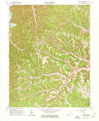
1962 Map of Wesleyville
USGS Topo · Published 1976About this map
Wesleyville and the surrounding hollows of eastern Kentucky are defined by a complex network of branching waterways like Buffalo Fork and Tygarts Creek. This 1962 revision, based on earlier aerial photography, documents a landscape where small rural settlements and industrial remnants coexist with conservation efforts. The presence of Boone Furnace in the northeast corner points to the region's iron-producing history, while the sprawling Tygarts State Forest and a portion of Carter Caves State Park mark the transition of the land toward public recreation and timber management.
Find a feature on this map
66 named features on this map. Tap any name to fly to it.
Don’t see what you’re looking for? This feature index may not catch every label — zoom into the map to look around manually.
Map Details
Editions of this 1962 Wesleyville Map
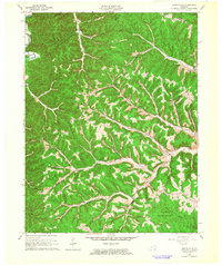
2 editions found
Other maps of this area

1915 · Garrison
USGS Topo · 1:62,500

1918 · Garrison
USGS Topo · 1:62,500

1919 · Vanceburg
USGS Topo · 1:62,500

1949 · Vanceburg
USGS Topo · 1:62,500

1949 · Garrison
USGS Topo · 1:24,000

1949 · Vanceburg
USGS Topo · 1:24,000

1949 · Brushart
USGS Topo · 1:24,000

1950 · Brushart
USGS Topo · 1:24,000

1950 · Head Of Grassy
USGS Topo · 1:24,000

1950 · Grahn
USGS Topo · 1:24,000