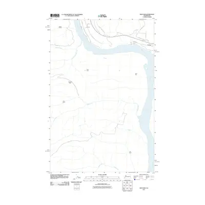
2011 Map of West Bar
USGS Topo · Published 2011About this map
The Columbia River dominates this section of Grant County, carving a wide path past the high bench of West Bar and the prominent protrusion of Cape Horn. On the northern bank, the small settlement of Trinidad sits near the river's bend, connected by a network of rural routes including Stuhmiller Rd and Columbia Dr. The landscape is defined by its deep drainage systems, where seasonal waters move through Davies Canyon, Brewton Gulch, and Stray Gulch toward the main river channel.
Find a feature on this map
24 named features on this map. Tap any name to fly to it.
Don’t see what you’re looking for? This feature index may not catch every label — zoom into the map to look around manually.
Map Details
Editions of this 2011 West Bar Map
This is the sole edition of this map. No revisions or reprints were ever made.
Other maps of this area

1909 · Quincy
USGS Topo · 1:62,500

1910 · Quincy
USGS Topo · 1:62,500

1912 · Malaga
USGS Topo · 1:48,000

1914 · Malaga
USGS Topo · 1:62,500

1920 · Colockum Pass
USGS Topo · 1:125,000

1922 · Colockum Pass
USGS Topo · 1:125,000

1953 · Ritzville
USGS Topo · 1:250,000

1957 · Wenatchee
USGS Topo · 1:250,000

1959 · Ritzville
USGS Topo · 1:250,000

1965 · Ritzville
USGS Topo · 1:250,000