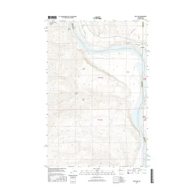
2017 Map of West Bar
USGS Topo · Published 2017About this map
Trinidad sits on the eastern bluffs overlooking a dramatic bend in the Columbia River, where Grant, Kittitas, and Douglas counties converge. The landscape is defined by the steep canyon walls and expansive river terraces, with West Bar and Babcock Bench providing notable flatlands amidst the broken terrain. Smaller drainages like Tarpiscan Cr and Tekison Cr cut through the western uplands, feeding into the main river channel.
Find a feature on this map
31 named features on this map. Tap any name to fly to it.
Don’t see what you’re looking for? This feature index may not catch every label — zoom into the map to look around manually.
Map Details
Editions of this 2017 West Bar Map
This is the sole edition of this map. No revisions or reprints were ever made.
Other maps of this area

1909 · Quincy
USGS Topo · 1:62,500

1910 · Quincy
USGS Topo · 1:62,500

1912 · Malaga
USGS Topo · 1:48,000

1914 · Malaga
USGS Topo · 1:62,500

1920 · Colockum Pass
USGS Topo · 1:125,000

1922 · Colockum Pass
USGS Topo · 1:125,000

1953 · Ritzville
USGS Topo · 1:250,000

1957 · Wenatchee
USGS Topo · 1:250,000

1959 · Ritzville
USGS Topo · 1:250,000

1965 · Ritzville
USGS Topo · 1:250,000