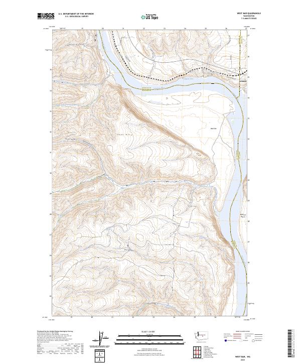
2023 Map of West Bar
USGS Topo · Published 2023About this map
The Columbia River carves a deep path through the central Washington landscape, serving as a tripartite boundary between Kittitas, Douglas, and Grant counties. The extensive Colockum Game Range dominates the western uplands, characterized by a series of steep drainage systems including Tarpiscan Creek, Tekison Creek, and Brewton Gulch. On the eastern bank, the topography rises toward the Babcock Bench and the small community of Trinidad, which sits near the northern bend of the river. The presence of Wanapum Lake reflects the impoundment of the river, while natural features like Cape Horn and the expansive West Bar highlight the geological force of prehistoric flooding that shaped this corridor. Local land use is further defined by rural infrastructure such as Spanish Castle Rd and Spring Valley Rd, which provide access to the high plateaus above the river canyon.
Find a feature on this map
32 named features on this map. Tap any name to fly to it.
Don’t see what you’re looking for? This feature index may not catch every label — zoom into the map to look around manually.
Map Details
Editions of this 2023 West Bar Map
This is the sole edition of this map. No revisions or reprints were ever made.
Other maps of this area

1909 · Quincy
USGS Topo · 1:62,500

1910 · Quincy
USGS Topo · 1:62,500

1912 · Malaga
USGS Topo · 1:48,000

1914 · Malaga
USGS Topo · 1:62,500

1920 · Colockum Pass
USGS Topo · 1:125,000

1922 · Colockum Pass
USGS Topo · 1:125,000

1953 · Ritzville
USGS Topo · 1:250,000

1957 · Wenatchee
USGS Topo · 1:250,000

1959 · Ritzville
USGS Topo · 1:250,000

1965 · Ritzville
USGS Topo · 1:250,000