Loading...
Loading map...2022 Map of West Bend
USGS Topo · Published 2022About this map
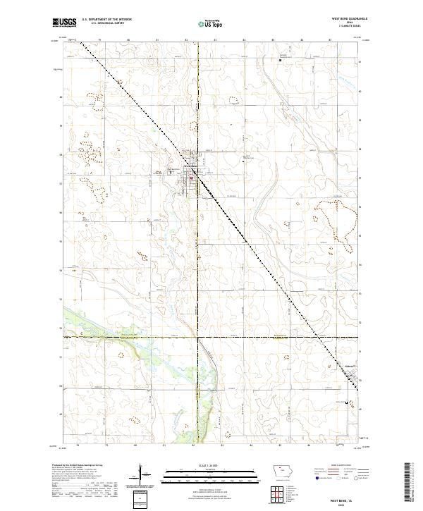
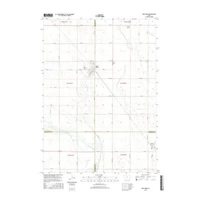
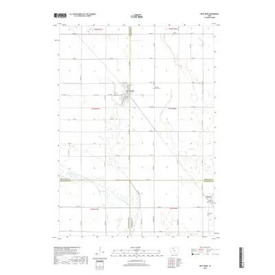
West Bend stands at the intersection of Palo Alto and Kossuth counties, anchoring a landscape shaped by both natural waterways and a rigid agricultural grid. This Iowa territory is defined by the winding course of the Des Moines River and its tributaries, including Prairie Creek and Trulner Creek. The drainage patterns, reinforced by Ditch Number 79 and Ditch Number 17, reflect a history of land management essential for the region's farming economy.
Find a feature on this map
41 named features on this map. Tap any name to fly to it.
Don’t see what you’re looking for? This feature index may not catch every label — zoom into the map to look around manually.
Map Details
Date Portrayed2022
Date Published2022
PublisherU.S. Geological Survey
Map TypeTopographic
Scale1:24,000
Physical Dimensions24 x 29 inches
Editions of this 2022 West Bend Map
This is the sole edition of this map. No revisions or reprints were ever made.
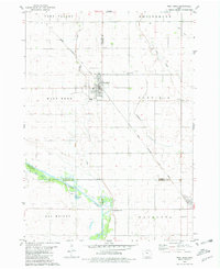
Historical Maps of West Bend Through Time
6 maps found
Featured Locations
Source Details
SourceU.S. Geological Survey
CopyrightPublic Domain