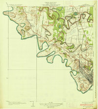
1936 Map of West Brownsville
USGS Topo · Published 1936About this map
The winding Rio Grande and its intricate network of former river channels, known locally as resacas, dominate this 1930s landscape of the Texas-Mexico border. In Brownsville, the street grid is already well-established, supported by vital infrastructure like the Water and Power Plant and Mercy Hospital, while the International Bridge connects the city to Matamoros. The surrounding Cameron County countryside is a patchwork of large family estates and agricultural bancos, including San Pedro Ranch, Anacuas Ranch, and Llanos Ranch. This era shows a transition from rural ranching to modern development, evidenced by the State Fish Hatchery and the Brownsville Country Club. Transportation is anchored by the Missouri Pacific railroad and State Highway No 4, which cut through the complex topography of the Resaca del Palma and the designated Floodway.
Find a feature on this map
39 named features on this map. Tap any name to fly to it.
Don’t see what you’re looking for? This feature index may not catch every label — zoom into the map to look around manually.
Map Details
Editions of this 1936 West Brownsville Map
2 editions found
Other maps of this area

1929 · La Paloma
USGS Topo · 1:24,000

1930 · Los Fresnos
USGS Topo · 1:24,000

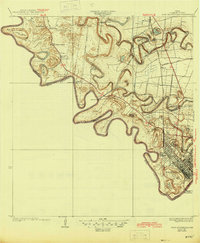
1930 · West Brownsville
USGS Topo · 1:24,000

1930 · Barreda
USGS Topo · 1:24,000

1930 · East Brownsville
USGS Topo · 1:24,000

1936 · Los Fresnos
USGS Topo · 1:31,680
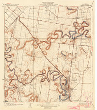
1936 · Barreda
USGS Topo · 1:31,680
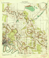
1936 · East Brownsville
USGS Topo · 1:31,680
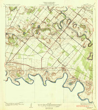
1936 · La Paloma
USGS Topo · 1:31,680
1936 · Southmost
USGS Topo · 1:31,680