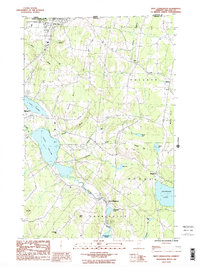
1986 Map of West Charleston
USGS Topo · Published 1987About this map
Canada United States border crossings define the northern reaches of this Orleans County landscape, where the international boundary separates Quebec and Vermont at Derby Line. The area is characterized by a dense network of water bodies and glacial hills, with the Clyde River serving as a central drainage artery connecting Charleston Pond and Pensioner Pond. Significant lakeside development is visible around Lake Salem and the western edge of Seymour Lake in Morgan.
Find a feature on this map
37 named features on this map. Tap any name to fly to it.
Don’t see what you’re looking for? This feature index may not catch every label — zoom into the map to look around manually.
Map Details
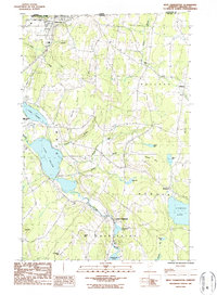
Editions of this 1986 West Charleston Map
2 editions found
Other maps of this area

1919 · Lake Memphremagog
USGS Topo · 1:62,500

1920 · Derby
USGS Topo · 1:62,500

1923 · Lake Memphremagog
USGS Topo · 1:48,000

1924 · Island Pond
USGS Topo · 1:48,000

1925 · Memphremagog
USGS Topo · 1:62,500

1926 · Island Pond
USGS Topo · 1:62,500

1949 · Jackman
USGS Topo · 1:250,000

1950 · Lake Champlain
USGS Topo · 1:250,000

1950 · Lewiston
USGS Topo · 1:250,000

1953 · Island Pond
USGS Topo · 1:62,500