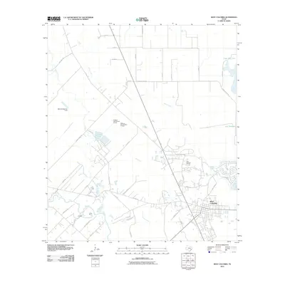
2010 Map of West Columbia
USGS Topo · Published 2010About this map
The West Columbia Oil Field serves as a prominent industrial landmark in this Brazoria County landscape, reflecting the region's enduring relationship with energy production. The city of West Columbia occupies the southeastern quadrant, where a dense network of local streets including S 14th St and Ellis Ln meet. The terrain is defined by a complex hydraulic system, with the San Bernard River and Bell Creek winding through the coastal prairie. Significant water management features are visible, such as the Blackwell Reservoir Levee and the twin embankments of Williams Lake Number 1 Levee and Williams Lake Number 2 Levee. These structures, alongside Eagle Nest Lake and Beal Reservoir, illustrate the extensive engineering required to manage the flat, creek-laced territory of the Texas Gulf Coast.
Find a feature on this map
45 named features on this map. Tap any name to fly to it.
Don’t see what you’re looking for? This feature index may not catch every label — zoom into the map to look around manually.
Map Details
Editions of this 2010 West Columbia Map
This is the sole edition of this map. No revisions or reprints were ever made.
Other maps of this area

1950 · Houston
USGS Topo · 1:250,000

1952 · West Columbia
USGS Topo · 1:24,000

1952 · Sweeny
USGS Topo · 1:24,000

1952 · Danciger
USGS Topo · 1:24,000

1952 · Ashwood
USGS Topo · 1:24,000

1952 · East Columbia
USGS Topo · 1:24,000

1952 · Brazoria
USGS Topo · 1:24,000

1953 · Guy
USGS Topo · 1:24,000

1953 · Damon
USGS Topo · 1:24,000

1953 · Otey
USGS Topo · 1:24,000