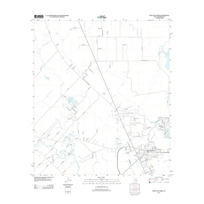
2013 Map of West Columbia
USGS Topo · Published 2013About this map
West Columbia serves as the focal point of this Brazoria County landscape, situated where the coastal plain is etched by an intricate network of waterways. The San Bernard River winds through the southern portion of the quadrangle, joined by Cannon Gully, while Mound Cr and Varner Cr drainage patterns define the northern and central reaches. This 2013 survey illustrates the area's long-standing connection to the petroleum industry via the West Columbia Oil Field, which remains a prominent feature of the local geography. Beyond the town center, the map documents a transition from residential developments like those along Plantation Dr and Reterio Dr to an expansive rural grid. This agricultural and industrial hinterland is dotted with several water bodies, including Eagle Nest Lake, Blackwell Reservoir, and Tenneco Lake Number 1, highlighting the management of water resources for both natural drainage and industrial utility in this Gulf Coast region.
Find a feature on this map
113 named features on this map. Tap any name to fly to it.
Don’t see what you’re looking for? This feature index may not catch every label — zoom into the map to look around manually.
Map Details
Editions of this 2013 West Columbia Map
This is the sole edition of this map. No revisions or reprints were ever made.
Other maps of this area

1950 · Houston
USGS Topo · 1:250,000

1952 · West Columbia
USGS Topo · 1:24,000

1952 · Sweeny
USGS Topo · 1:24,000

1952 · Danciger
USGS Topo · 1:24,000

1952 · Ashwood
USGS Topo · 1:24,000

1952 · East Columbia
USGS Topo · 1:24,000

1952 · Brazoria
USGS Topo · 1:24,000

1953 · Guy
USGS Topo · 1:24,000

1953 · Damon
USGS Topo · 1:24,000

1953 · Otey
USGS Topo · 1:24,000