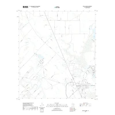
2019 Map of West Columbia
USGS Topo · Published 2019About this map
West Columbia serves as the focal point of this coastal prairie landscape, situated near the meandering path of the San Bernard River. The topography is defined by a dense network of watercourses and wetlands, including Mound Cr, Varner Cr, and the lower reaches of Bell Cr. These waterways historically shaped the settlement patterns of Brazoria County, influencing the placement of early homesteads and agricultural tracts. Notable water features like Blackwell Reservoir and Eagle Nest Lake punctuate the flat terrain, while drainage features such as Cannon Gully illustrate the hydraulic character of the region. The map documents a mix of rural and developing areas, with arterial routes like Old Damon Rd and residential corridors such as Plantation Dr showing the evolution of the local infrastructure as it fans out from the historic town center toward the surrounding marshes and meadows.
Find a feature on this map
93 named features on this map. Tap any name to fly to it.
Don’t see what you’re looking for? This feature index may not catch every label — zoom into the map to look around manually.
Map Details
Editions of this 2019 West Columbia Map
This is the sole edition of this map. No revisions or reprints were ever made.
Other maps of this area

1950 · Houston
USGS Topo · 1:250,000

1952 · West Columbia
USGS Topo · 1:24,000

1952 · Sweeny
USGS Topo · 1:24,000

1952 · Danciger
USGS Topo · 1:24,000

1952 · Ashwood
USGS Topo · 1:24,000

1952 · East Columbia
USGS Topo · 1:24,000

1952 · Brazoria
USGS Topo · 1:24,000

1953 · Guy
USGS Topo · 1:24,000

1953 · Damon
USGS Topo · 1:24,000

1953 · Otey
USGS Topo · 1:24,000