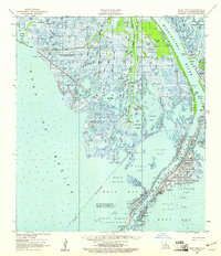
1958 Map of West Delta
USGS Topo · Published 1961About this map
The Mississippi River splits into its final distributaries here in Plaquemines Parish, forming the complex birds-foot delta landscape. This 1958 survey captures the critical transition from river to gulf, anchored by the settlement of Pilottown and the strategic Head of Passes. The map illustrates a region defined by maritime necessity and natural preservation, featuring the Old Quarantine Station and the Quarantine Cupola (USC&GS) alongside the Delta National Wildlife Refuge. The marshy terrain is a labyrinth of named bodies including Zinzin Bay, Chawee Bay, and Bay Tambour. Industrial footprints are evident in several offshore areas such as Block 52 and various Oil and Gas Fields, showing how the mid-century energy economy began to overlay the older delta landscape of oyster bays and bird sanctuaries like the Riverside Bay Sanctuary.
Find a feature on this map
63 named features on this map. Tap any name to fly to it.
Don’t see what you’re looking for? This feature index may not catch every label — zoom into the map to look around manually.
Map Details
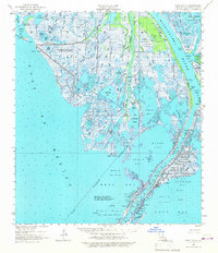
Editions of this 1958 West Delta Map
2 editions found
Other maps of this area

1892 · Quarantine
USGS Topo · 1:62,500

1893 · East Delta
USGS Topo · 1:62,500

1893 · Forts
USGS Topo · 1:62,500

1893 · West Delta
USGS Topo · 1:62,500

1935 · South Pass
USGS Topo · 1:31,680

1941 · Empire
USGS Topo · 1:62,500

1944 · Empire
USGS Topo · 1:62,500

1946 · Pass Du Bois
USGS Topo · 1:31,680

1946 · Mudpan Bayou
USGS Topo · 1:31,680

1946 · Pass Tante Phine
USGS Topo · 1:31,680