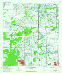
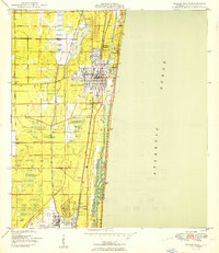
1962 Map of West Dixie Bend
USGS Topo · Published 1964About this map
The Loxahatchee National Wildlife Refuge occupies the northwest corner of this South Florida landscape, where the managed wilderness meets the accelerating suburban expansion of the early 1960s. The Sunshine State Parkway bisects the area, serving as a primary artery for the developing communities of Margate, Lakeview, and West Dixie Bend. This era shows a transition from agricultural use and water control to residential development, with the Hillsboro Canal and Deerfield Locks providing the necessary drainage infrastructure for the new neighborhoods.
Find a feature on this map
45 named features on this map. Tap any name to fly to it.
Don’t see what you’re looking for? This feature index may not catch every label — zoom into the map to look around manually.
Map Details
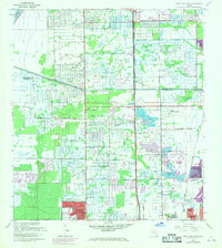
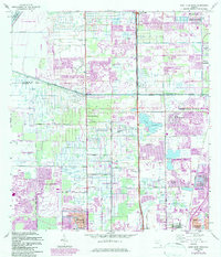
Editions of this 1962 West Dixie Bend Map
3 editions found
Other maps of this area
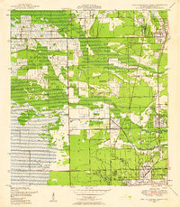
1945 · Fort Lauderdale North
USGS Topo · 1:24,000
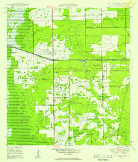
1946 · West Dixie Bend
USGS Topo · 1:24,000
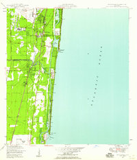
1946 · Boca Raton
USGS Topo · 1:24,000
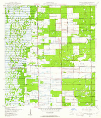
1947 · Delmar Farms
USGS Topo · 1:24,000
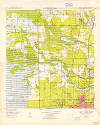
1949 · Fort Lauderdale North
USGS Topo · 1:24,000
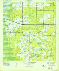
1949 · West Dixie Bend
USGS Topo · 1:24,000
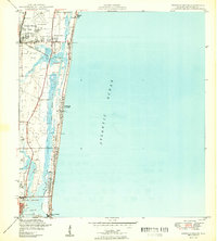
1949 · Pompano Beach
USGS Topo · 1:24,000
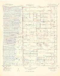
1949 · Delmar Farms
USGS Topo · 1:24,000
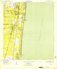
1950 · Boca Raton
USGS Topo · 1:24,000
1950 · Delray Beach
USGS Topo · 1:24,000