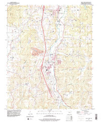
1994 Map of West Fork
USGS Topo · Published 1998About this map
The West Fork White River carves a deep path through Washington County in the early 1990s, serving as the central artery for the settlements of West Fork and Greenland. This landscape is defined by the sharp rise of Miller Mountain, Fraker Mountain, and Bloyd Mountain, which hem in the river valley. The map documents significant infrastructure expansion, notably featuring a large-scale pipeline under construction that snakes parallel to the river and highway, cutting across the western slopes of West Mountain.
Find a feature on this map
38 named features on this map. Tap any name to fly to it.
Don’t see what you’re looking for? This feature index may not catch every label — zoom into the map to look around manually.
Map Details
Editions of this 1994 West Fork Map
2 editions found
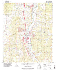
Other maps of this area

1898 · Winslow
USGS Topo · 1:125,000

1899 · Fayetteville
USGS Topo · 1:125,000

1901 · Winslow
USGS Topo · 1:125,000

1901 · Fayetteville
USGS Topo · 1:125,000

1904 · Fayetteville
USGS Topo · 1:125,000

1946 · Fort Smith
USGS Topo · 1:250,000

1954 · Tulsa
USGS Topo · 1:250,000

1958 · Fayetteville
USGS Topo · 1:24,000

1958 · Elkins
USGS Topo · 1:24,000

1958 · Tulsa
USGS Topo · 1:250,000