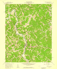
1957 Map of West Hamlin
USGS Topo · Published 1959About this map
The Guyandotte River carves a winding path through this 1950s landscape, serving as the primary corridor for the Chesapeake and Ohio railroad and connecting the communities of Salt Rock and West Hamlin. This era in Lincoln and Cabell counties is defined by a dense network of family and community landmarks, particularly country schools like Ousleys Gap Sch and Balls Gap Sch that anchored local ridges and hollows. Numerous gas wells, marked throughout the terrain, indicate the region's active energy extraction during the mid-century. Away from the river, the map reveals a interior of small settlements such as Inez and Roach, alongside historic rural congregations including the Friendly United Ch and Welcome Home Ch. The presence of several family-named burial grounds like Triplett Cem and Sloan Cem provides significant detail for genealogists tracing local lineage.
Find a feature on this map
55 named features on this map. Tap any name to fly to it.
Don’t see what you’re looking for? This feature index may not catch every label — zoom into the map to look around manually.
Map Details
Editions of this 1957 West Hamlin Map
4 editions found
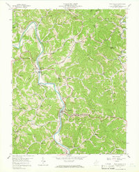
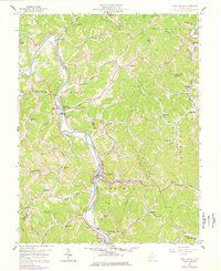
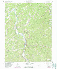
Other maps of this area

1892 · Huntington
USGS Topo · 1:125,000

1898 · Huntington
USGS Topo · 1:125,000

1901 · Guyandot
USGS Topo · 1:62,500

1902 · Guyandot
USGS Topo · 1:62,500

1902 · Milton
USGS Topo · 1:62,500

1902 · Midkiff
USGS Topo · 1:62,500

1907 · Midkiff
USGS Topo · 1:62,500

1909 · Wayne
USGS Topo · 1:62,500

1909 · Midkiff
USGS Topo · 1:62,500

1931 · Wayne
USGS Topo · 1:62,500