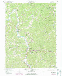
1957 Map of West Hamlin
USGS Topo · Published 1989About this map
The Guyandotte River winds through the heart of this mid-century survey, anchoring a landscape of tight hollows and narrow ridges along the Cabell and Lincoln county line. In West Hamlin and Salt Rock, the community structure of the late 1950s is clear, showing a high density of small family cemeteries and country churches that define the social geography of the era. The presence of numerous named schools, including Junior High Sch and Collins Sch, suggests a rural population still concentrated in the valley floors before modern school consolidation moved these institutions away from their immediate neighborhoods. Northward, the Mud River cuts across the corner near Balls Gap, while the interior terrain is marked by an extensive network of creeks like Trace Creek and Porter Creek, where small settlements such as Prairietown and Roach once served as local hubs.
Find a feature on this map
62 named features on this map. Tap any name to fly to it.
Don’t see what you’re looking for? This feature index may not catch every label — zoom into the map to look around manually.
Map Details
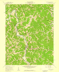
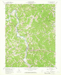
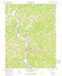
Editions of this 1957 West Hamlin Map
4 editions found
Other maps of this area

1892 · Huntington
USGS Topo · 1:125,000

1898 · Huntington
USGS Topo · 1:125,000

1901 · Guyandot
USGS Topo · 1:62,500

1902 · Guyandot
USGS Topo · 1:62,500

1902 · Milton
USGS Topo · 1:62,500

1902 · Midkiff
USGS Topo · 1:62,500

1907 · Midkiff
USGS Topo · 1:62,500

1909 · Wayne
USGS Topo · 1:62,500

1909 · Midkiff
USGS Topo · 1:62,500

1931 · Wayne
USGS Topo · 1:62,500