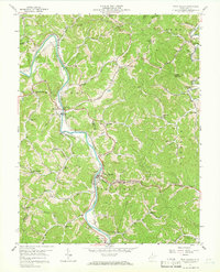
1957 Map of West Hamlin
USGS Topo · Published 1966About this map
The Guyandotte River carves a winding path through the borderlands of Cabell and Lincoln counties, serving as the primary corridor for both the Chesapeake and Ohio Railroad and early settlement growth. In the mid-1950s, West Hamlin and Salt Rock anchored the river valley, while the surrounding hills were dotted with a dense network of local institutions. Dozens of small schools and churches, such as Balls Gap Sch, Ousleys Gap Sch, and Welcome Home Ch, reflect a dispersed rural population reliant on the creek-bed branches like Trace Creek and Tyler Creek. This map reveals a community in transition, where mid-century modernities like a Drive-in Theater near West Hamlin appeared alongside family homesteads and landmarks like the Swann Cem and Mickiff Cem. The detailed record of names like Dan Bias Sch and Greenville Ch offers a specific view of the social fabric before later 20th-century consolidation.
Find a feature on this map
75 named features on this map. Tap any name to fly to it.
Don’t see what you’re looking for? This feature index may not catch every label — zoom into the map to look around manually.
Map Details
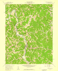
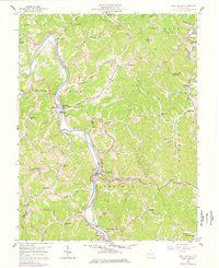
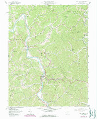
Editions of this 1957 West Hamlin Map
4 editions found
Other maps of this area

1892 · Huntington
USGS Topo · 1:125,000

1898 · Huntington
USGS Topo · 1:125,000

1901 · Guyandot
USGS Topo · 1:62,500

1902 · Guyandot
USGS Topo · 1:62,500

1902 · Milton
USGS Topo · 1:62,500

1902 · Midkiff
USGS Topo · 1:62,500

1907 · Midkiff
USGS Topo · 1:62,500

1909 · Wayne
USGS Topo · 1:62,500

1909 · Midkiff
USGS Topo · 1:62,500

1931 · Wayne
USGS Topo · 1:62,500