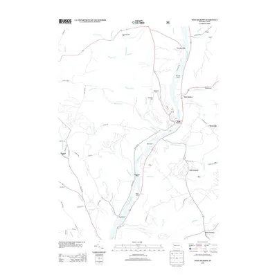
2013 Map of West Hickory
USGS Topo · Published 2013About this map
The Allegheny River carves a deep valley through this portion of Forest County, defining the settlement patterns of towns like Trunkeyville and West Hickory. This corridor is marked by numerous river features, including Hemlock Island, King Island, and Baker Island, which sit amidst a network of steep-banked tributaries such as W Hickory Cr and Little Hickory Run. The landscape is a mix of high timberland and river-bottom landings, where small communities like Jamison and Dawson Run emerged along the water’s edge.
Find a feature on this map
69 named features on this map. Tap any name to fly to it.
Don’t see what you’re looking for? This feature index may not catch every label — zoom into the map to look around manually.
Map Details
Editions of this 2013 West Hickory Map
This is the sole edition of this map. No revisions or reprints were ever made.
Other maps of this area

1922 · Oil City
USGS Topo · 1:48,000

1922 · Tionesta
USGS Topo · 1:62,500

1924 · Oil City
USGS Topo · 1:62,500

1924 · Tionesta
USGS Topo · 1:62,500

1927 · Tidioute
USGS Topo · 1:48,000

1927 · Titusville
USGS Topo · 1:62,500

1930 · Tidioute
USGS Topo · 1:62,500

1933 · Titusville
USGS Topo · 1:62,500

1943 · Oil City
USGS Topo · 1:62,500

1946 · Tionesta
USGS Topo · 1:62,500
Featured Places
- Tionesta, PA
- Triumph Township, PA
- Tionesta Township, PA
- Trunkeyville, Harmony Township
- Church Hill, Hickory Township