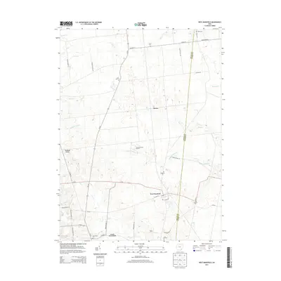
2013 Map of West Mansfield
USGS Topo · Published 2013About this map
West Mansfield serves as the primary hub in this agricultural landscape where the Logan Co Union Co line runs north-to-south. The map reveals a high concentration of cemeteries including Quaker Cem, Early Cem, and Good Hope Cem, reflecting the deep-seated settlement history of the region. This rural infrastructure is punctuated by specialized agricultural operations like the Heartland Quality Egg Farm and Pullet Farm, highlighting the modern economic character of the countryside.
Find a feature on this map
43 named features on this map. Tap any name to fly to it.
Don’t see what you’re looking for? This feature index may not catch every label — zoom into the map to look around manually.
Map Details
Editions of this 2013 West Mansfield Map
This is the sole edition of this map. No revisions or reprints were ever made.
Other maps of this area

1913 · East Liberty
USGS Topo · 1:62,500

1913 · Richwood
USGS Topo · 1:62,500

1915 · Richwood
USGS Topo · 1:62,500

1915 · East Liberty
USGS Topo · 1:62,500

1915 · Kenton
USGS Topo · 1:62,500

1915 · La Rue
USGS Topo · 1:62,500

1944 · East Liberty
USGS Topo · 1:62,500

1944 · Kenton
USGS Topo · 1:62,500

1944 · Richwood
USGS Topo · 1:62,500

1950 · Marion
USGS Topo · 1:250,000