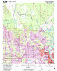
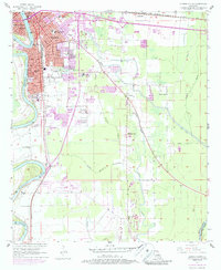
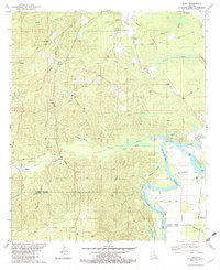
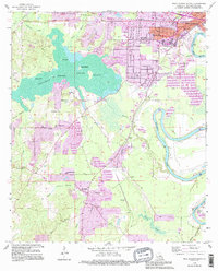
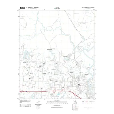
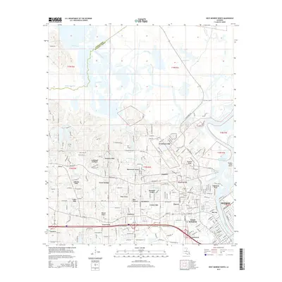
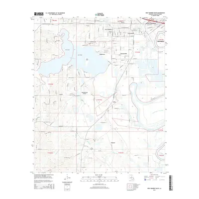
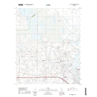
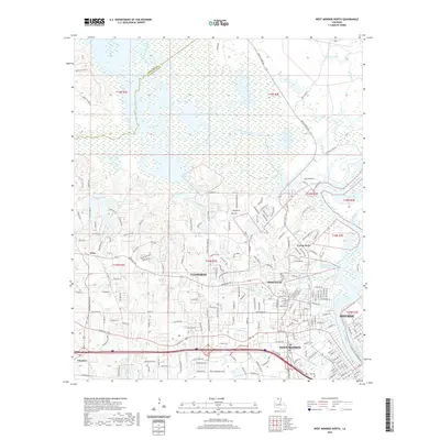
1999 Map of West Monroe North
USGS Topo · Published 2001About this map
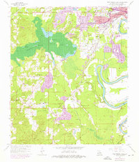
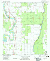
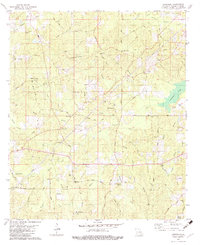
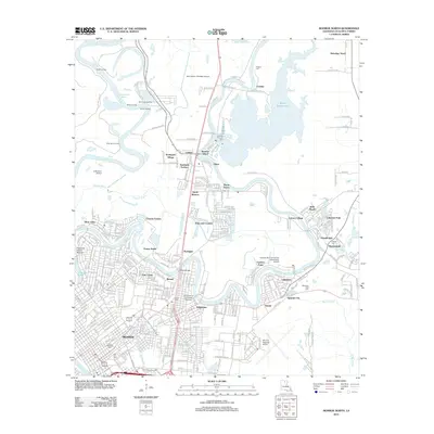
D'Arbonne National Wildlife Refuge dominates the northern half of this landscape, where the meandering Bayou D'Arbonne and Choudrant Bayou meet amidst a network of smaller channels like The Chute and Cross Bayou. This area transitions from the protected wetlands and the Monroe Gas Field into the dense residential and industrial sectors of West Monroe and Monroe. The urban development is closely tied to the Ouachita River, which forms the eastern boundary, featuring infrastructure like the Waterworks and Forsythe Park.
Find a feature on this map
61 named features on this map. Tap any name to fly to it.
Don’t see what you’re looking for? This feature index may not catch every label — zoom into the map to look around manually.
Map Details
Editions of this 1999 West Monroe North Map
This is the sole edition of this map. No revisions or reprints were ever made.
Historical Maps of Monroe Through Time
53 maps found

1935 Drew
Ouachita Parish, LA
1957 Monroe North
Ouachita Parish, LA
1957 Monroe North
Ouachita Parish, LA
1957 Monroe South
Ouachita Parish, LA
1957 Monroe South
Ouachita Parish, LA

1957 West Monroe North
Ouachita Parish, LA
1957 West Monroe South
Ouachita Parish, LA

1969 Monroe North
Ouachita Parish, LA
1982 Bosco
Ouachita Parish, LA
1982 Cadeville
Ouachita Parish, LA
1982 Luna
Ouachita Parish, LA
1994 Monroe North
Ouachita Parish, LA
1994 Monroe South
Ouachita Parish, LA
1994 West Monroe North
Ouachita Parish, LA
1994 West Monroe South
Ouachita Parish, LA
1999 Monroe North
Ouachita Parish, LA
1999 Monroe South
Ouachita Parish, LA
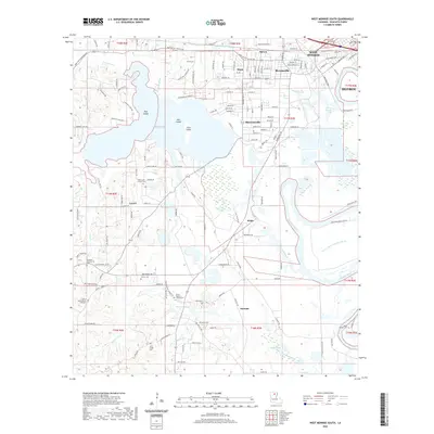
1999 West Monroe North
Ouachita Parish, LA
2012 Bosco
Ouachita Parish, LA
2012 Cadeville
Ouachita Parish, LA
2012 Luna
Ouachita Parish, LA
2012 Monroe North
Ouachita Parish, LA
2012 Monroe South
Ouachita Parish, LA
2012 West Monroe North
Ouachita Parish, LA
2012 West Monroe South
Ouachita Parish, LA
2015 Bosco
Ouachita Parish, LA
2015 Cadeville
Ouachita Parish, LA
2015 Luna
Ouachita Parish, LA
2015 Monroe North
Ouachita Parish, LA
2015 Monroe South
Ouachita Parish, LA
2015 West Monroe North
Ouachita Parish, LA
2015 West Monroe South
Ouachita Parish, LA
2018 Bosco
Ouachita Parish, LA
2018 Cadeville
Ouachita Parish, LA
2018 Luna
Ouachita Parish, LA

2018 Monroe North
Ouachita Parish, LA
2018 Monroe South
Ouachita Parish, LA
2018 West Monroe North
Ouachita Parish, LA
2018 West Monroe South
Ouachita Parish, LA
2020 Bosco
Ouachita Parish, LA
2020 Cadeville
Ouachita Parish, LA

2020 Luna
Ouachita Parish, LA
2020 Monroe North
Ouachita Parish, LA
2020 Monroe South
Ouachita Parish, LA
2020 West Monroe North
Ouachita Parish, LA
2020 West Monroe South
Ouachita Parish, LA
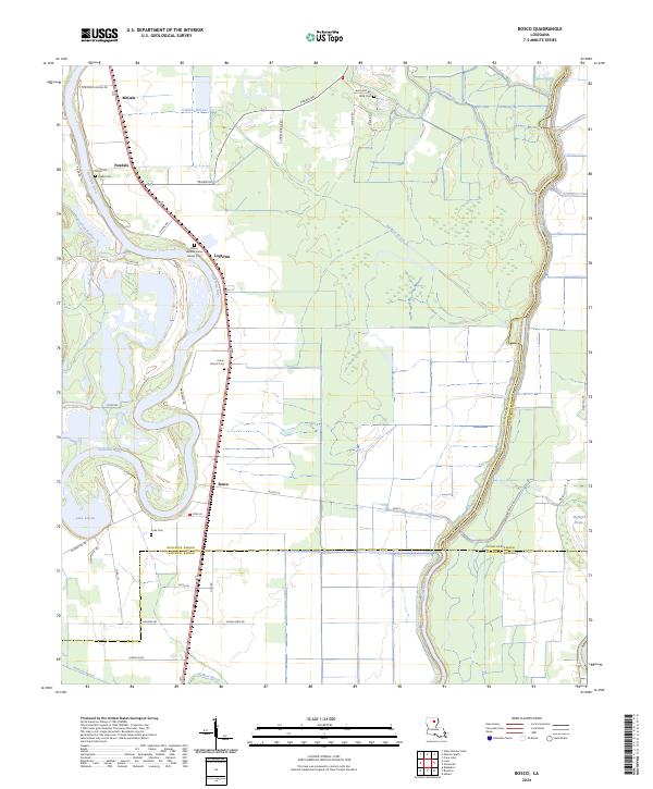
2024 Bosco
Ouachita Parish, LA

2024 Cadeville
Ouachita Parish, LA
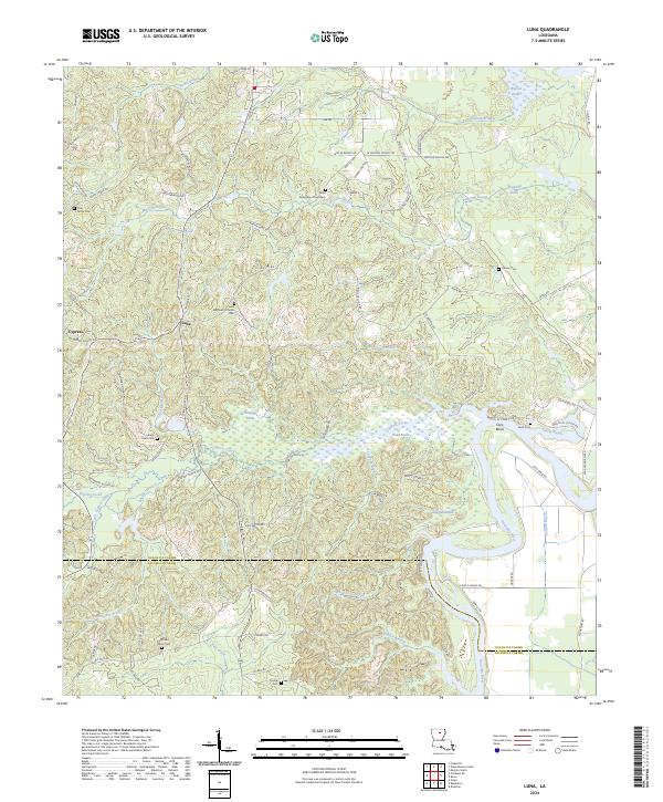
2024 Luna
Ouachita Parish, LA
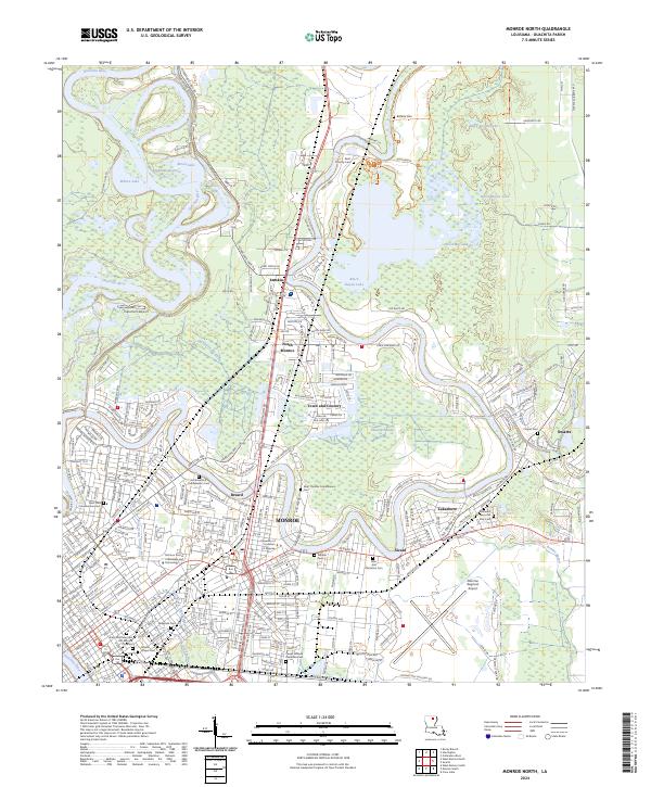
2024 Monroe North
Ouachita Parish, LA
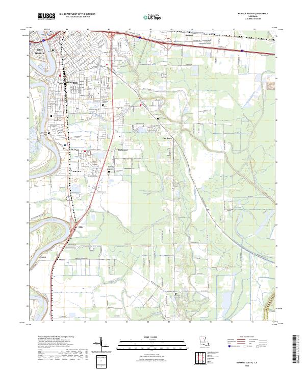
2024 Monroe South
Ouachita Parish, LA
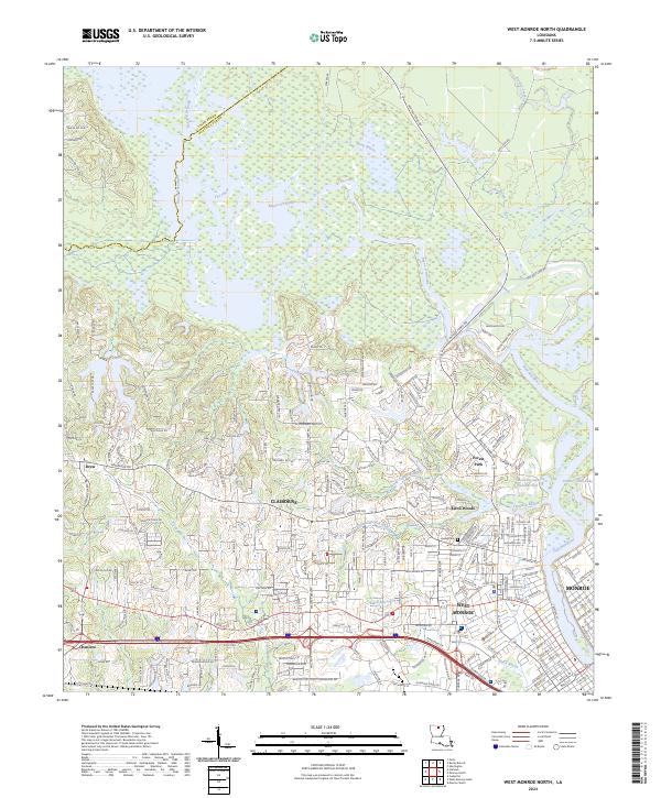
2024 West Monroe North
Ouachita Parish, LA
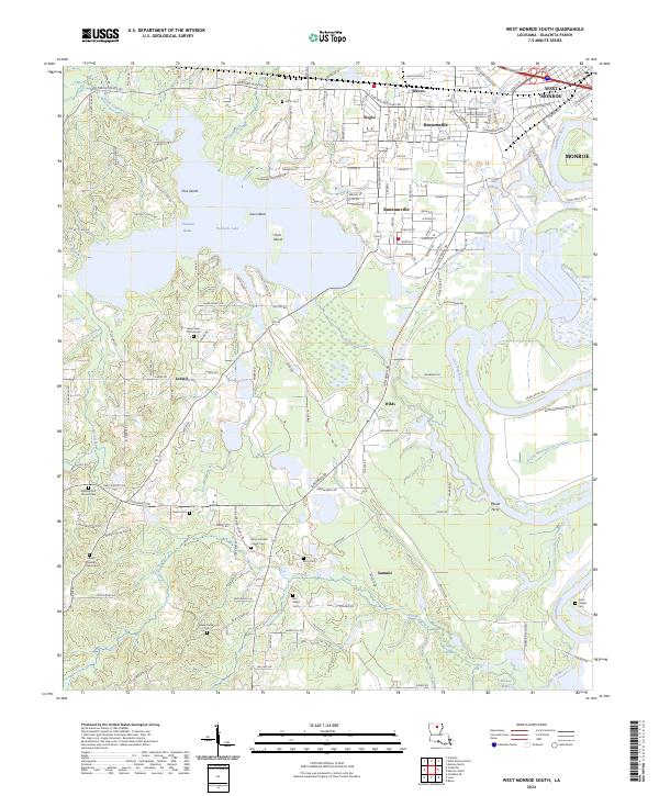
2024 West Monroe South
Ouachita Parish, LA