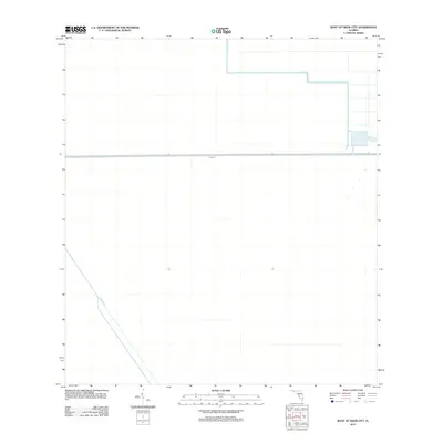
2012 Map of West of Deem City
USGS Topo · Published 2012About this map
Miami Canal cuts through this expansive portion of the Florida Everglades, serving as a primary artery for water management and drainage in the region. This 2012 survey illustrates the highly engineered character of the landscape, where the Mud Canal and Levee 5 create a geometric grid of water control infrastructure designed to manage the flow across the low-lying terrain. The map captures a section of the state defined almost entirely by these massive civil engineering projects, which are essential for maintaining the balance between the natural swamp environment and the surrounding agricultural or urban development. The presence of these specific waterways and levees provides a clear view of the mid-20th-century hydraulic modifications that continue to shape the geography of West of Deem City.
Find a feature on this map
3 named features on this map. Tap any name to fly to it.
Don’t see what you’re looking for? This feature index may not catch every label — zoom into the map to look around manually.
Map Details
Editions of this 2012 West of Deem City Map
This is the sole edition of this map. No revisions or reprints were ever made.
Other maps of this area

1956 · West Palm Beach
USGS Topo · 1:250,000

1957 · West Palm Beach
USGS Topo · 1:250,000

1958 · West Palm Beach
USGS Topo · 1:250,000

1973 · Everglades 4 NW
USGS Topo · 1:24,000

1973 · Everglades 4 NE
USGS Topo · 1:24,000

1973 · Everglades 3 NE
USGS Topo · 1:24,000

1974 · Everglades 1 SW
USGS Topo · 1:24,000

1974 · Everglades 2 SE
USGS Topo · 1:24,000

1974 · Everglades 1 NW
USGS Topo · 1:24,000

1974 · Everglades 1 SE
USGS Topo · 1:24,000