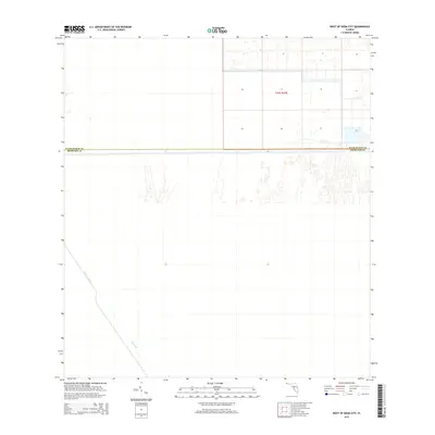
2015 Map of West of Deem City
USGS Topo · Published 2015About this map
The Miami Canal and Mud Canal dominate the southwestern corner of this landscape, representing the massive water management infrastructure of the northern Everglades. This area, situated along the Palm Beach and Broward County line, consists of precisely gridded agricultural lands and conservation areas within Township 47 South, Range 37 East. The strictly geometric layout of the drainage systems and access roads highlights the intensive engineering required to manage the wetlands for regional water control and farming.
Find a feature on this map
4 named features on this map. Tap any name to fly to it.
Don’t see what you’re looking for? This feature index may not catch every label — zoom into the map to look around manually.
Map Details
Editions of this 2015 West of Deem City Map
This is the sole edition of this map. No revisions or reprints were ever made.
Other maps of this area

1956 · West Palm Beach
USGS Topo · 1:250,000

1957 · West Palm Beach
USGS Topo · 1:250,000

1958 · West Palm Beach
USGS Topo · 1:250,000

1973 · Everglades 4 NW
USGS Topo · 1:24,000

1973 · Everglades 4 NE
USGS Topo · 1:24,000

1973 · Everglades 3 NE
USGS Topo · 1:24,000

1974 · Everglades 1 SW
USGS Topo · 1:24,000

1974 · Everglades 2 SE
USGS Topo · 1:24,000

1974 · Everglades 1 NW
USGS Topo · 1:24,000

1974 · Everglades 1 SE
USGS Topo · 1:24,000