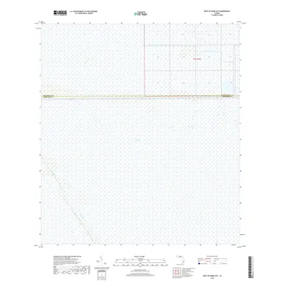
2018 Map of West of Deem City
USGS Topo · Published 2018About this map
The Everglades dominate this landscape, showcasing the complex water management systems of southern Florida. The southwestern portion of the sheet is defined by the diagonal path of the Miami Canal, a primary drainage artery, and the smaller Mud Canal branching toward the interior. The northern half of the map is demarcated by the surveyed boundary of Palm Beach Co Broward Co, where the landscape transitions into a grid of township and range divisions. The sparse human footprint in this quadrangle reflects the environmental preservation of the region, where infrastructure is almost entirely dedicated to water control rather than traditional settlement or industry.
Find a feature on this map
4 named features on this map. Tap any name to fly to it.
Don’t see what you’re looking for? This feature index may not catch every label — zoom into the map to look around manually.
Map Details
Editions of this 2018 West of Deem City Map
This is the sole edition of this map. No revisions or reprints were ever made.
Other maps of this area

1956 · West Palm Beach
USGS Topo · 1:250,000

1957 · West Palm Beach
USGS Topo · 1:250,000

1958 · West Palm Beach
USGS Topo · 1:250,000

1973 · Everglades 4 NW
USGS Topo · 1:24,000

1973 · Everglades 4 NE
USGS Topo · 1:24,000

1973 · Everglades 3 NE
USGS Topo · 1:24,000

1974 · Everglades 1 SW
USGS Topo · 1:24,000

1974 · Everglades 2 SE
USGS Topo · 1:24,000

1974 · Everglades 1 NW
USGS Topo · 1:24,000

1974 · Everglades 1 SE
USGS Topo · 1:24,000