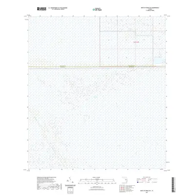
2021 Map of West of Deem City
USGS Topo · Published 2021About this map
The Everglades dominate this landscape, revealing the intricate water management and preservation efforts defining the modern Florida interior. The map illustrates a vast, interconnected wetland system bisected by the Miami Canal, a primary artery for regional drainage and water flow control. The boundary line separating Palm Beach Co and Broward Co runs East-West across the northern third of the sheet, providing a precise point of reference for where these two South Florida counties meet within the marshland. This survey provides an essential view of the environment prior to any further development or restoration shifts, focusing on the preservation of the sawgrass and slough systems that characterize the region.
Find a feature on this map
4 named features on this map. Tap any name to fly to it.
Don’t see what you’re looking for? This feature index may not catch every label — zoom into the map to look around manually.
Map Details
Editions of this 2021 West of Deem City Map
This is the sole edition of this map. No revisions or reprints were ever made.
Other maps of this area

1956 · West Palm Beach
USGS Topo · 1:250,000

1957 · West Palm Beach
USGS Topo · 1:250,000

1958 · West Palm Beach
USGS Topo · 1:250,000

1973 · Everglades 4 NW
USGS Topo · 1:24,000

1973 · Everglades 4 NE
USGS Topo · 1:24,000

1973 · Everglades 3 NE
USGS Topo · 1:24,000

1974 · Everglades 1 SW
USGS Topo · 1:24,000

1974 · Everglades 2 SE
USGS Topo · 1:24,000

1974 · Everglades 1 NW
USGS Topo · 1:24,000

1974 · Everglades 1 SE
USGS Topo · 1:24,000