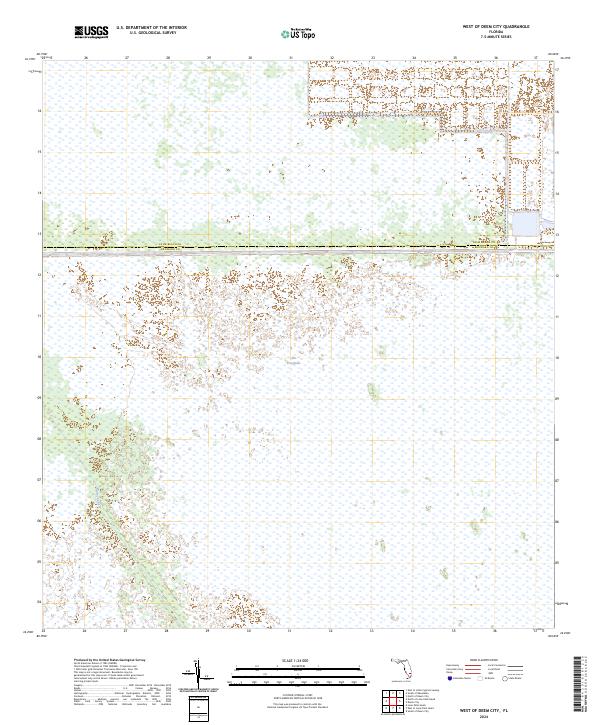
2024 Map of West of Deem City
USGS Topo · Published 2024About this map
The Everglades dominate this landscape, revealing the complex water management systems of southern Florida. The prominent Miami Canal cuts through the sawgrass marshes in the western portion of the map, serving as a primary artery for drainage and water transport between Lake Okeechobee and the coast. Along the boundary between Palm Beach Co and Broward Co, the map documents the straight lines of modern engineering imposed upon the native wetlands. The vast, open expanses of the conservation area illustrate the contemporary state of this ecosystem, where few terrestrial landmarks exist beyond the grid of the Public Land Survey System, specifically t47s r37e.
Find a feature on this map
4 named features on this map. Tap any name to fly to it.
Don’t see what you’re looking for? This feature index may not catch every label — zoom into the map to look around manually.
Map Details
Editions of this 2024 West of Deem City Map
This is the sole edition of this map. No revisions or reprints were ever made.
Other maps of this area

1956 · West Palm Beach
USGS Topo · 1:250,000

1957 · West Palm Beach
USGS Topo · 1:250,000

1958 · West Palm Beach
USGS Topo · 1:250,000

1973 · Everglades 4 NW
USGS Topo · 1:24,000

1973 · Everglades 4 NE
USGS Topo · 1:24,000

1973 · Everglades 3 NE
USGS Topo · 1:24,000

1974 · Everglades 1 SW
USGS Topo · 1:24,000

1974 · Everglades 2 SE
USGS Topo · 1:24,000

1974 · Everglades 1 NW
USGS Topo · 1:24,000

1974 · Everglades 1 SE
USGS Topo · 1:24,000