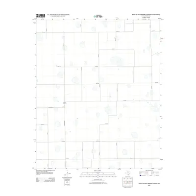
2012 Map of West of Dick Moore Canyon
USGS Topo · Published 2012About this map
Rushing Chapel Cem sits at the heart of this Floyd County landscape, serving as a primary cultural landmark in an area defined by its systematic agricultural grid. Located just north of Ranch Road 786, this cemetery is a key site for genealogists and local historians tracing family roots in the Texas Panhandle. The map reveals the high density of small playas or seasonal water catchments that dot the terrain between the meticulously laid out county roads.
Find a feature on this map
19 named features on this map. Tap any name to fly to it.
Don’t see what you’re looking for? This feature index may not catch every label — zoom into the map to look around manually.
Map Details
Editions of this 2012 West of Dick Moore Canyon Map
This is the sole edition of this map. No revisions or reprints were ever made.
Other maps of this area

1954 · Lubbock
USGS Topo · 1:250,000

1954 · Plainview
USGS Topo · 1:250,000

1958 · Plainview
USGS Topo · 1:250,000

1965 · Lockney SE
USGS Topo · 1:24,000

1965 · Floydada
USGS Topo · 1:24,000

1965 · Boothe
USGS Topo · 1:24,000

1966 · South Plains
USGS Topo · 1:24,000

1966 · Lockney 4 SW
USGS Topo · 1:24,000

1967 · Quitaque Peaks
USGS Topo · 1:24,000

1967 · Dick Moore Canyon
USGS Topo · 1:24,000