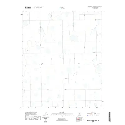
2019 Map of West of Dick Moore Canyon
USGS Topo · Published 2019About this map
Rushing Chapel Cem sits as a solitary landmark within this vast grid of rural Floyd County, documented here in the late 2010s. The landscape is defined by a rigorous network of county roads, such as Co RD 211, Co RD 160, and Co RD 271, which partition the high plains into precise sections. This geometric organization is typical of the Llano Estacado region, where the flat terrain allowed for an uncompromising survey system. Significant local transit is managed by FM 786 and FM 602, connecting the isolated farmsteads and fields to the larger county infrastructure. The map reveals numerous ephemeral water features and depressions scattered across the agricultural blocks, illustrating the subtle natural hydrology that persists despite the dominant human-made grid of farm-to-market and county roads.
Find a feature on this map
19 named features on this map. Tap any name to fly to it.
Don’t see what you’re looking for? This feature index may not catch every label — zoom into the map to look around manually.
Map Details
Editions of this 2019 West of Dick Moore Canyon Map
This is the sole edition of this map. No revisions or reprints were ever made.
Other maps of this area

1954 · Lubbock
USGS Topo · 1:250,000

1954 · Plainview
USGS Topo · 1:250,000

1958 · Plainview
USGS Topo · 1:250,000

1965 · Lockney SE
USGS Topo · 1:24,000

1965 · Floydada
USGS Topo · 1:24,000

1965 · Boothe
USGS Topo · 1:24,000

1966 · South Plains
USGS Topo · 1:24,000

1966 · Lockney 4 SW
USGS Topo · 1:24,000

1967 · Quitaque Peaks
USGS Topo · 1:24,000

1967 · Dick Moore Canyon
USGS Topo · 1:24,000