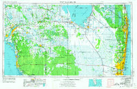
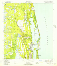
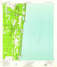
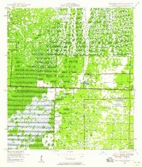
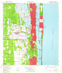
1956 Map of West Palm Beach
USGS Topo · Published 1974About this map
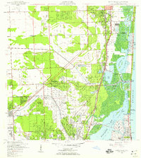
Lake Okeechobee serves as the hydrological heart of this mid-century portrait, directing water through an intricate network of man-made channels like the Miami Canal and Hillsboro Canal. On the eastern coast, the rapid post-war expansion of South Florida is evident in the burgeoning coastal corridor from Jupiter down to the metropolitan edge. Inland, the map reveals a transition from agricultural settlements like Belle Glade and Pahokee to the wild expanses of The Everglades and Big Cypress Swamp. This revised edition illustrates the emerging transportation infrastructure of the era, notably Alligator Alley and the Everglades Parkway, which began to bridge the formerly impassable interior. Significant protected lands and cultural sites are recorded, including the Big Cypress Indian Reservation and Everglades National Wildlife Refuge, marking a period of formalizing conservation and tribal territories amidst the state's growth.
Find a feature on this map
154 named features on this map. Tap any name to fly to it.
Don’t see what you’re looking for? This feature index may not catch every label — zoom into the map to look around manually.
Map Details
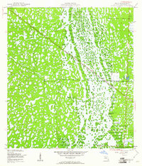
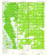
Editions of this 1956 West Palm Beach Map
2 editions found

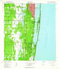
Other maps of this area

1945 · Fort Lauderdale North
USGS Topo · 1:24,000
1945 · Delta
USGS Topo · 1:24,000
1945 · Greenacres City
USGS Topo · 1:24,000
1945 · Lake Worth
USGS Topo · 1:24,000
1946 · Riviera Beach
USGS Topo · 1:24,000

1946 · West Dixie Bend
USGS Topo · 1:24,000
1946 · Boca Raton
USGS Topo · 1:24,000
1946 · Palm Beach Farms
USGS Topo · 1:24,000
1946 · Palm Beach
USGS Topo · 1:24,000
1947 · North Miami
USGS Topo · 1:24,000