
1963 Map of West Pangburn
USGS Topo · Published 1964About this map
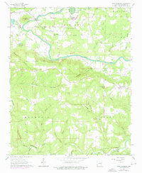
The Little Red River winds through the northern portion of this quadrangle, carving dramatic features like Andrews Bend and Cooter Neck Bend as it passes beneath Libby Bluff. This early 1960s landscape is characterized by its rural infrastructure, featuring an Old Railroad Grade and several river crossings such as Slick Rock Ford and Whitehead Ford. Settlements are sparse but well-defined by their community landmarks, including the small gathering point at Center Ridge and the outskirts of West Pangburn. Genealogists will find several burial sites and houses of worship, such as Goff Cem, Mt Zion Ch, and Goodspring Ch. The terrain transitions from the river valley to higher ground at Sugar Loaf Mountain and along Chinkapin Ridge, revealing a mid-century Arkansas interior defined by narrow hollows like Stillhouse Hollow and Wolf Den Hollow.
Find a feature on this map
48 named features on this map. Tap any name to fly to it.
Don’t see what you’re looking for? This feature index may not catch every label — zoom into the map to look around manually.
Map Details
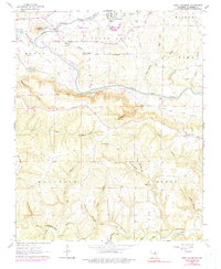
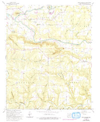
Editions of this 1963 West Pangburn Map
4 editions found
Other maps of this area

1890 · Batesville
USGS Topo · 1:125,000

1891 · Batesville
USGS Topo · 1:125,000

1892 · Mountain View
USGS Topo · 1:125,000

1894 · Mountain View
USGS Topo · 1:125,000

1953 · Memphis
USGS Topo · 1:250,000

1956 · Memphis
USGS Topo · 1:250,000

1956 · Russellville
USGS Topo · 1:250,000

1962 · Pangburn
USGS Topo · 1:24,000

1962 · Letona
USGS Topo · 1:24,000

1963 · Rose Bud
USGS Topo · 1:24,000