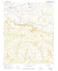
1963 Map of West Pangburn
USGS Topo · Published 1990About this map
Sugar Loaf Mountain dominates the northwestern corner of this Cleburne County terrain, rising above the winding course of the Little Red River. The landscape is a complex network of high ridges and deep hollows, such as Stillhouse Hollow and Rockhouse Hollow, which dictate the placement of early settlements and road networks. Evidence of the region's transport history is visible in the old railroad grade following the river valley and a series of river crossings including Winkley Bridge and Slick Rock Ford. Local social centers are anchored by rural congregations at Sugar Loaf Ch and Center Ridge Ch, while the presence of a Quarry near Libby Bluff suggests small-scale industrial activity. The photogrammetric revisions from 1975 highlight modern additions like a landing strip and sewage disposal ponds near the river bend.
Find a feature on this map
54 named features on this map. Tap any name to fly to it.
Don’t see what you’re looking for? This feature index may not catch every label — zoom into the map to look around manually.
Map Details
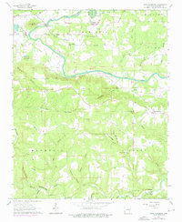
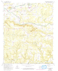
Editions of this 1963 West Pangburn Map
4 editions found

Other maps of this area

1890 · Batesville
USGS Topo · 1:125,000

1891 · Batesville
USGS Topo · 1:125,000

1892 · Mountain View
USGS Topo · 1:125,000

1894 · Mountain View
USGS Topo · 1:125,000

1953 · Memphis
USGS Topo · 1:250,000

1956 · Memphis
USGS Topo · 1:250,000

1956 · Russellville
USGS Topo · 1:250,000

1962 · Pangburn
USGS Topo · 1:24,000

1962 · Letona
USGS Topo · 1:24,000

1963 · Rose Bud
USGS Topo · 1:24,000