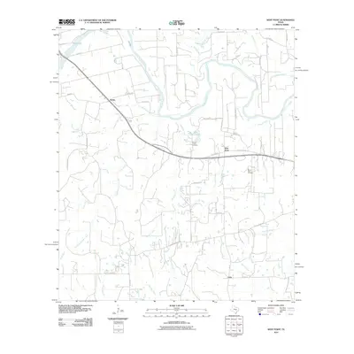
2010 Map of West Point
USGS Topo · Published 2010About this map
The Colorado River meanders across this Central Texas landscape, defining a rural corridor between the settlements of Kirtley and West Point. The area is characterized by a dense network of hydrologic features, where numerous tributaries such as Bartons Creek, Cedar Creek, and Robinson Creek feed into the main river channel. This 2010 survey highlights the established transport routes of the era, including the State Loop 543 and local roads that connect scattered homesteads to the rail-adjacent community of Lena in the south.
Find a feature on this map
50 named features on this map. Tap any name to fly to it.
Don’t see what you’re looking for? This feature index may not catch every label — zoom into the map to look around manually.
Map Details
Editions of this 2010 West Point Map
This is the sole edition of this map. No revisions or reprints were ever made.
Other maps of this area

1885 · Bastrop
USGS Topo · 1:125,000

1893 · Bastrop
USGS Topo · 1:125,000

1901 · Flatonia
USGS Topo · 1:125,000

1904 · Bastrop
USGS Topo · 1:125,000

1919 · Giddings
USGS Topo · 1:62,500

1948 · Smithville
USGS Topo · 1:62,500

1950 · Smithville
USGS Topo · 1:62,500

1953 · Seguin
USGS Topo · 1:250,000

1954 · Austin
USGS Topo · 1:250,000

1956 · La Grange
USGS Topo · 1:62,500