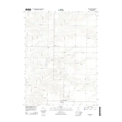
2015 Map of West Point
USGS Topo · Published 2015About this map
Basco and West Point serve as the primary hubs of this rural landscape in Hancock County, reflecting the deep agricultural and community roots of western Illinois. The terrain is defined by the branching tributaries of the Bear Creek system, including W Fork Bear Cr and Little Bear Cr, which carve gentle valleys through the prairie. The settlement pattern is anchored by a grid of rural routes such as N 1400 East Rd and E 700 North Rd, connecting isolated farmsteads to the village centers.
Find a feature on this map
50 named features on this map. Tap any name to fly to it.
Don’t see what you’re looking for? This feature index may not catch every label — zoom into the map to look around manually.
Map Details
Editions of this 2015 West Point Map
This is the sole edition of this map. No revisions or reprints were ever made.
Other maps of this area

1933 · Carthage
USGS Topo · 1:62,500

1936 · Keokuk
USGS Topo · 1:62,500

1937 · Carthage
USGS Topo · 1:62,500

1946 · Mendon
USGS Topo · 1:62,500

1948 · Mendon
USGS Topo · 1:62,500

1948 · Camp Point
USGS Topo · 1:62,500

1950 · Keokuk
USGS Topo · 1:62,500

1958 · Burlington
USGS Topo · 1:250,000

1961 · Burlington
USGS Topo · 1:250,000

1963 · Burlington
USGS Topo · 1:250,000