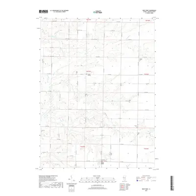
2018 Map of West Point
USGS Topo · Published 2018About this map
Basco and West Point anchor this rural Hancock County landscape, where the rectangular grid of section lines and county roads meets the winding courses of Bear Cr and Slater Cr. The area is notably dense with small burial grounds, offering significant genealogical value through sites like the Immanuel Lutheran Cem, Graham Cem, and Cook Cem. These scattered cemeteries often indicate the locations of earlier church congregations or family homesteads that predate the modern road network. The drainage patterns are defined by the W Fork Bear Cr and the engineered Meadow Ditch, illustrating how the agricultural terrain has been managed over decades. Significant local transit is centered on Co Hwy 23 and the residential streets of West Point, including E Washington St and E Center St, which provide a detailed look at the layout of these small Illinois communities.
Find a feature on this map
46 named features on this map. Tap any name to fly to it.
Don’t see what you’re looking for? This feature index may not catch every label — zoom into the map to look around manually.
Map Details
Editions of this 2018 West Point Map
This is the sole edition of this map. No revisions or reprints were ever made.
Other maps of this area

1933 · Carthage
USGS Topo · 1:62,500

1936 · Keokuk
USGS Topo · 1:62,500

1937 · Carthage
USGS Topo · 1:62,500

1946 · Mendon
USGS Topo · 1:62,500

1948 · Mendon
USGS Topo · 1:62,500

1948 · Camp Point
USGS Topo · 1:62,500

1950 · Keokuk
USGS Topo · 1:62,500

1958 · Burlington
USGS Topo · 1:250,000

1961 · Burlington
USGS Topo · 1:250,000

1963 · Burlington
USGS Topo · 1:250,000