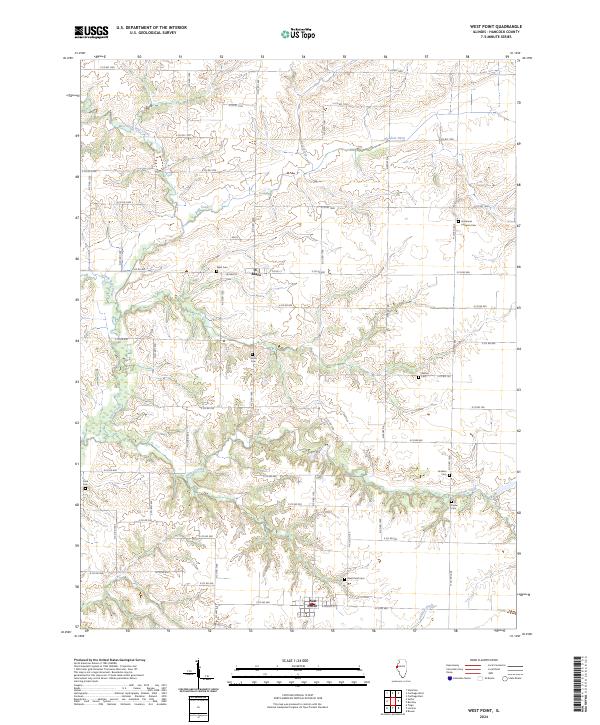
2024 Map of West Point
USGS Topo · Published 2024About this map
Basco and West Point serve as the primary hubs in this agricultural landscape of Hancock County, where the terrain is deeply etched by the drainage systems of Bear Creek and its many tributaries. The settlement pattern follows a rigid grid of county roads, yet the physical history of the area is most evident in its numerous small burial grounds. From Immanuel Lutheran Cem in the north to West Point Cem and Payne Cem further south, these sites offer significant points of interest for genealogists tracing local family lineages. Water features like Slater Creek and the Meadow Ditch illustrate how the natural hydrology has been managed to support the surrounding farmland. This modern survey provides a clear view of the rural infrastructure, including Airport Dr and a dense network of secondary roads that connect isolated farmsteads across the prairie.
Find a feature on this map
51 named features on this map. Tap any name to fly to it.
Don’t see what you’re looking for? This feature index may not catch every label — zoom into the map to look around manually.
Map Details
Editions of this 2024 West Point Map
This is the sole edition of this map. No revisions or reprints were ever made.
Other maps of this area

1933 · Carthage
USGS Topo · 1:62,500

1936 · Keokuk
USGS Topo · 1:62,500

1937 · Carthage
USGS Topo · 1:62,500

1946 · Mendon
USGS Topo · 1:62,500

1948 · Mendon
USGS Topo · 1:62,500

1948 · Camp Point
USGS Topo · 1:62,500

1950 · Keokuk
USGS Topo · 1:62,500

1958 · Burlington
USGS Topo · 1:250,000

1961 · Burlington
USGS Topo · 1:250,000

1963 · Burlington
USGS Topo · 1:250,000