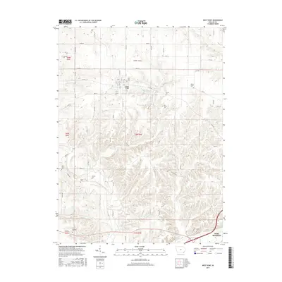
2015 Map of West Point
USGS Topo · Published 2015About this map
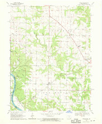
The city of West Point serves as the central hub of this Lee County landscape, where the rectangular street grid gives way to a network of creeks and timbered ridges. To the southeast, the outskirts of Fort Madison begin to emerge, marking the transition toward the Mississippi River valley. The area is exceptionally dense with small family and parish burial grounds, reflecting the deep-rooted agricultural settlement of the region. Local landmarks such as Pollmiller Park Lake and Wilson Lake provide key points of reference amidst the rolling terrain carved by Pitman Cr and Devils Cr. Researchers will find a preserved record of rural infrastructure, from the early roads like Co Rd J40 to the numerous cemeteries including Whorton Cem and Van Hyning Cem that dot the countryside between established homesteads.
Find a feature on this map
51 named features on this map. Tap any name to fly to it.
Don’t see what you’re looking for? This feature index may not catch every label — zoom into the map to look around manually.
Map Details
Editions of this 2015 West Point Map
This is the sole edition of this map. No revisions or reprints were ever made.
Other maps of this area

1936 · Fort Madison
USGS Topo · 1:62,500

1958 · Burlington
USGS Topo · 1:250,000

1961 · Burlington
USGS Topo · 1:250,000

1963 · Burlington
USGS Topo · 1:250,000
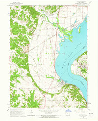
1964 · Nauvoo
USGS Topo · 1:24,000

1964 · West Point
USGS Topo · 1:24,000
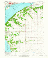
1964 · Niota
USGS Topo · 1:24,000
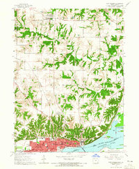
1964 · Fort Madison
USGS Topo · 1:24,000
1968 · Argyle
USGS Topo · 1:24,000

1968 · Donnellson
USGS Topo · 1:24,000