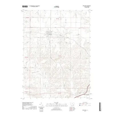
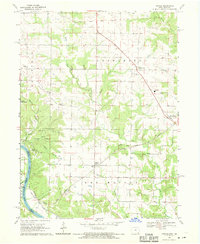
2018 Map of West Point
USGS Topo · Published 2018About this map
West Point serves as the central hub of this Lee County landscape, where the grid of the town site meets the winding paths of rural Iowa. The area is characterized by an extensive network of family and community burial grounds, such as Saint Peters Cem, Calvary Cem, and West Point Cem, reflecting the deep generational roots of the local population. To the southeast, the edge of Fort Madison begins to emerge along the northern bank of the river valley, connected to the hinterlands by routes like Chalk Ridge Rd and Bluff Rd.
Find a feature on this map
45 named features on this map. Tap any name to fly to it.
Don’t see what you’re looking for? This feature index may not catch every label — zoom into the map to look around manually.
Map Details
Editions of this 2018 West Point Map
This is the sole edition of this map. No revisions or reprints were ever made.
Other maps of this area

1936 · Fort Madison
USGS Topo · 1:62,500

1958 · Burlington
USGS Topo · 1:250,000

1961 · Burlington
USGS Topo · 1:250,000

1963 · Burlington
USGS Topo · 1:250,000
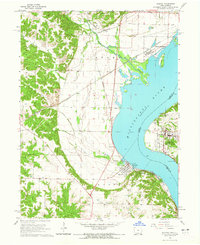
1964 · Nauvoo
USGS Topo · 1:24,000

1964 · West Point
USGS Topo · 1:24,000
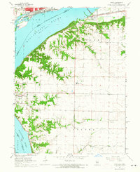
1964 · Niota
USGS Topo · 1:24,000
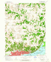
1964 · Fort Madison
USGS Topo · 1:24,000
1968 · Argyle
USGS Topo · 1:24,000

1968 · Donnellson
USGS Topo · 1:24,000